A change of plan in Dundee

This is not the blog I was expecting, or hoping, to be writing today, but it is a blog post which means lighthouses have been visited, so never a bad thing.

We’d planned to travel down to Dundee and head over to the Isle of May today to take advantage of the Doors Open Days, which would allow us to get into two of the three lighthouses there.

Book release
Collecting my book from Whittles Publishing

Before I begin on that though, I should say that I received a message from the publisher of my book, The British Lighthouse Trail: A Regional Guide, to say that my advance copies were now in their office. Of course, that meant that I had to head over to see them after work before we began our journey south.

What a delight that was to be handed a copy of my own book! It’s taken me years to develop and I have been looking back at the process recently in preparation for a presentation I am due to give in a couple of weeks. It really has been a labour of love. To get my hands on the result is so rewarding and entirely wiped out the frustrations and stress I went through in order to get it to where it is. Such a fantastic feeling!

Right, back to our weekend. The visit to the Isle of May was not to be as I discovered by email this morning. We needed a back-up plan and this came in the form of Dundee Science Centre to entertain the kids in wet and windy weather.

Stopping here also gave the perfect opportunity to catch up with my lighthouse friend Laura who had also travelled to the area for the Isle of May. It was great to see her and nice to test out a copy of the book on exactly the type of person it is aimed at. Laura went away with a few lighthouses to do today that she’d missed the first time around and I hope she got on well with them.

We spent considerably longer at the Science Centre than anticipated, but when we did drag ourselves away we decided to take a drive up to Montrose as the kids needed a sleep and I was keen to get closer to the rear of the two range lights in Montrose harbour.

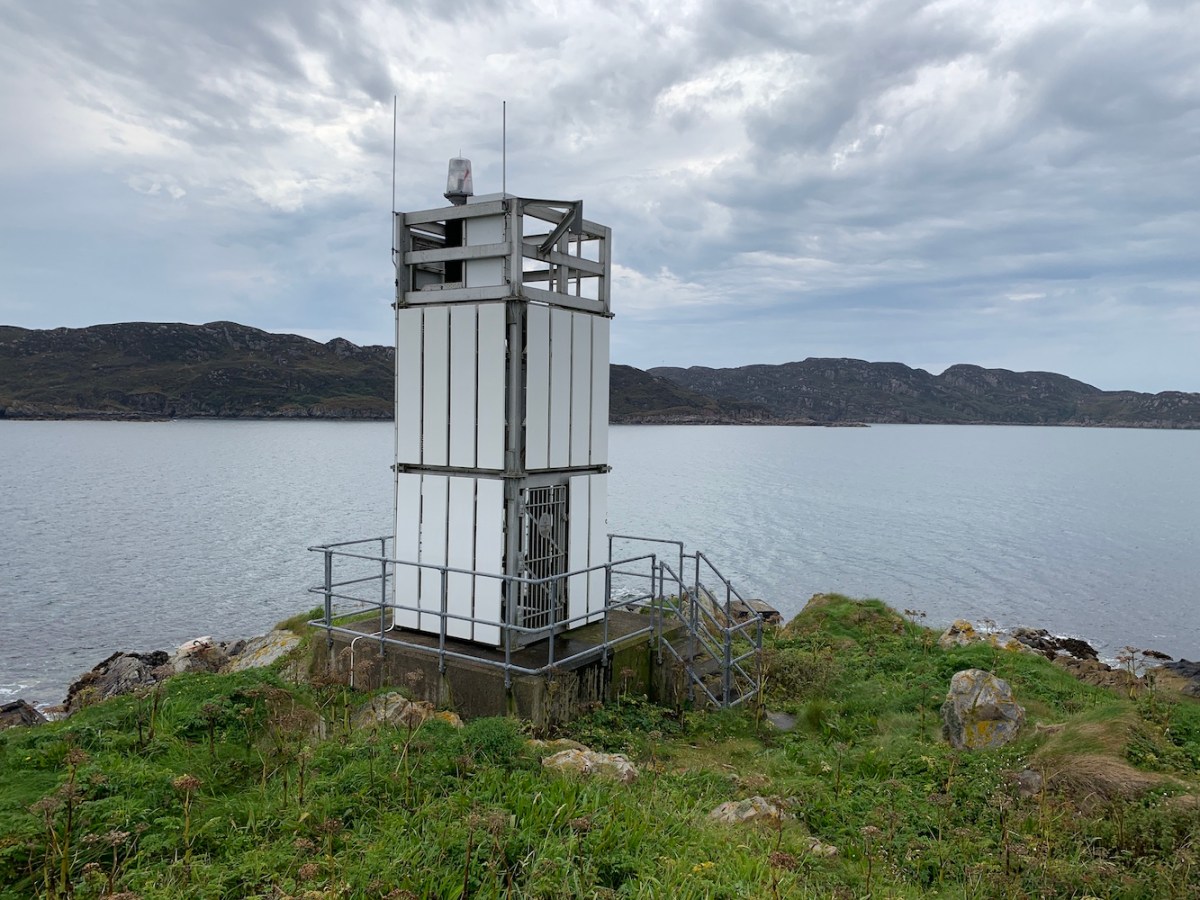
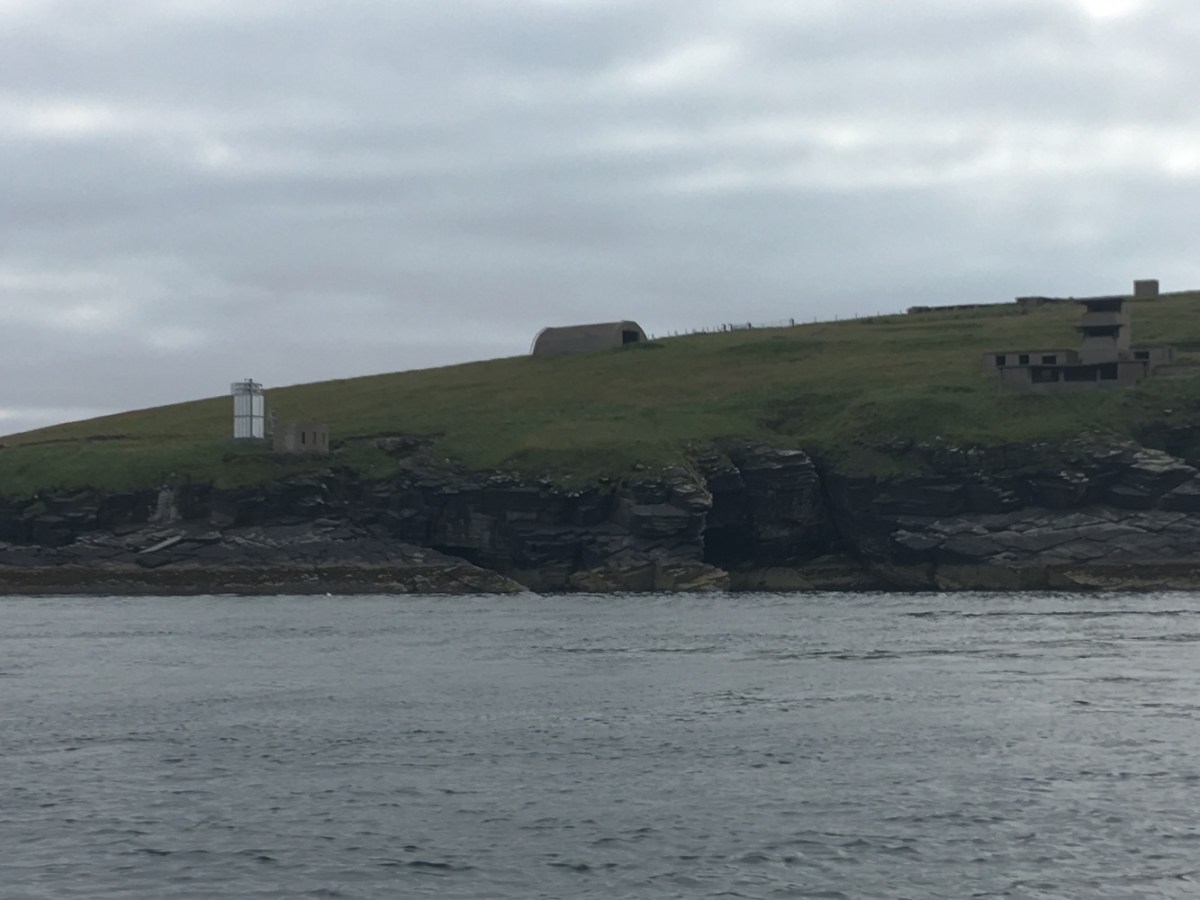
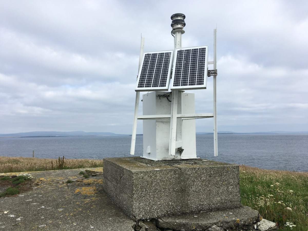
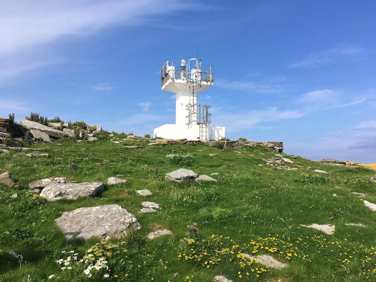
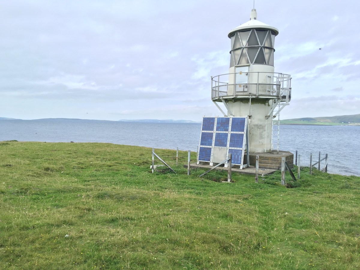
On the way to Montrose we passed the old Whitehill (or Vatsetter) light on the approach to Arbroath. I’ve seen this one a few times, but having recently been to the modern light at Vatsetter in Shetland where this one was previously located, I now have an extra level of enjoyment of it.

Montrose
Montrose Harbour Rear lighthouse

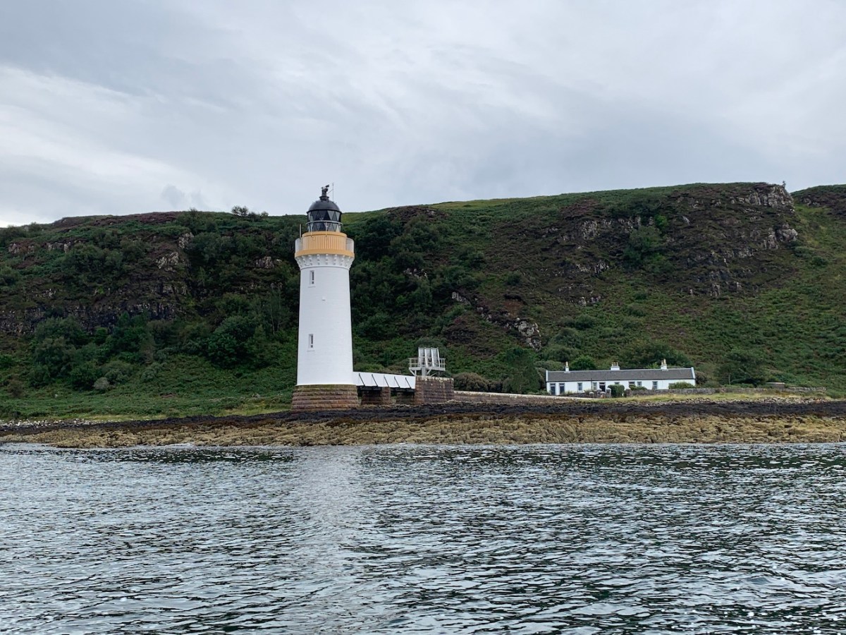
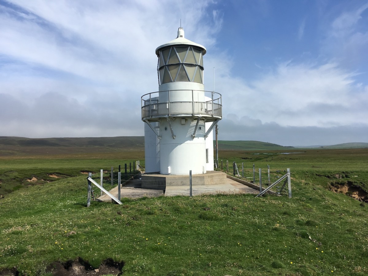
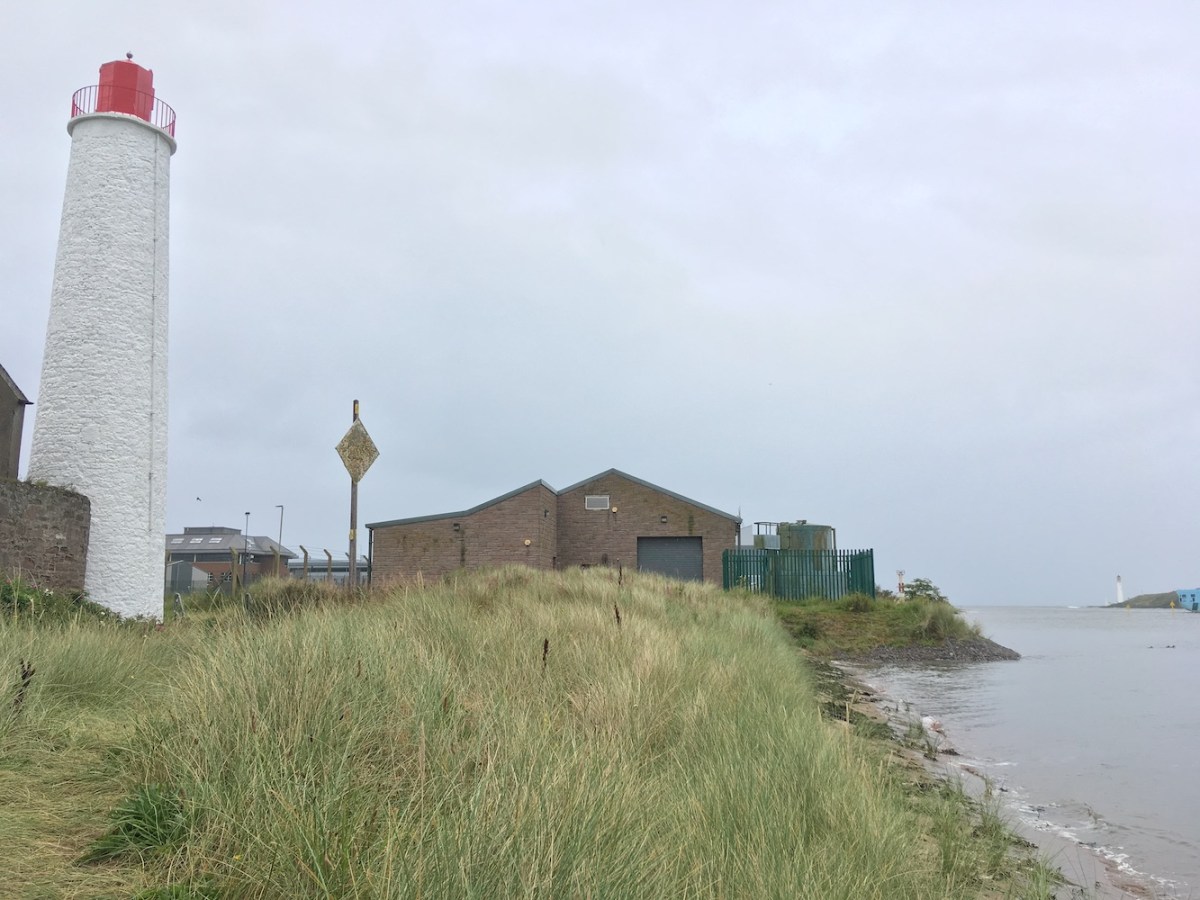
A little while later we arrived in Montrose and thanks to my book, which had the street names, we easily found the lighthouse. It’s an interesting one. It’s quite tall, but fairly slim with a fairly small, red section at the top which contains the light. I wandered around in the dunes next to it grabbing pictures from different angles. I was surprised to see dunes there to be honest. It’s a very industrial area and the lighthouse is just next to a massive warehouse. When we spotted the sign saying “Beach access” close to the lighthouse I was intrigued. I’ve since found some old pictures of the tower when it was white at the top rather than red and it certainly looks like there was much more of a beach next to the lighthouse then with no sign of the dunes. Presumably the river is shifting the sand banks over the years.

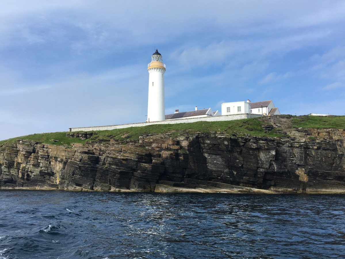
The river runs next to the lighthouse and there were a number of birds floating around on the water until a massive boat turned up and they drifted slowly towards the side of the river. It was brilliant to see Scurdie Ness in the distance too. It was great to get closer to this one after seeing from the south side of the river a couple of times.


Montrose and Scurdie Ness
Montrose Harbour Rear light with Scurdie Ness in the distance

The kids were both wide awake by the time we were passing back through Arbroath so we decided to stop at the Signal Tower Museum for a quick look around before it closed. It has been six years since I was last there. Life was very different then. Bob and I weren’t married and had no children, but also it was still very early in my lighthouse days. I wrote about it in my post at the time of my first visit. I had forgotten that it was as big as it is, and that they had the film depicting the building of the Bell Rock on a loop in one room. I caught the end of it and was reminded of just how incredible a feat it would have been to build a lighthouse on the Bell Rock. The film shows the Robert Stevenson, or at least the actor who played him, getting emotional when the light was first lit. It made me wonder how much of that was artistic licence (I suspect there was). It must have felt like a great achievement, but I wonder whether the Stevenson’s dealt with their successes by celebrating or whether they just moved on to the next task.


Signal Tower
Arbroath Signal Tower Museum

Anyway, I digress, the museum is still just as great as it was before. In fact it is better as, since 2017, they have held the old mechanism from the Bell Rock lighthouse (not the original, although they do have small parts of that too). It’s in a side room with a light inside and the mechanism is still in good working order, so it was lovely to see that in action.

I have heard that they are hoping to temporarily open the tower itself up to the public soon. It has been closed for health and safety reasons, but they are hoping to allow people to get up there a bit more in the future.

Signal Tower internal
Looking up the beautiful Signal Tower staircase

We stopped off at The Bell Rock Restaurant opposite the Signal Tower where we enjoyed smokies – we were in Arbroath after all. When we left the restaurant we spotted the Bell Rock tower in the distance with the sun shining off of it. I’d love to get back out there again some day to appreciate it all over again, and possibly even more so this time.

Although today turned out differently to how we had hoped it would, it’s still been a very good day with some lighthouses crammed in too. 🙂

Circumnavigating Mull

If there was one light that had been bothering me for a while then it would have been Bunessan, which is on an island just north of the village of Bunessan on the Ross of Mull. It was the last one in the area from Mull to Islay that I had left to visit, or even see. Fortunately it tied in quite nicely with some islands off of the south west of Mull that had been bothering some island-baggers for a while too. Our good friend Mervyn got in touch to say that he was organising a trip there with Coastal Connection (a great boat operator based in Oban who got me out to see Dubh Artach and Hyskeir among others a few years ago). Of course we jumped at the chance.

Yesterday was the day that we’d set. We’d been warned that the trip was expected to last 12 hours. That’s quite a long day for one lighthouse, but when they’re bothering you then you do what it takes. Heading out from Oban we saw the Pharos berthed at the Northern Lighthouse Board Depot and a short while later we passed the lighthouse on Sgeirean Dubha in the Sound of Kerrera. We were aware that it might be choppy going out, but should calm down as the day progressed. Arriving towards the south west of Mull the lads began their bagging while I watched, read and slept mostly.

Bunessan approach
Approaching Eilean na Liathanaich island with Bunessan lighthouse

After nine hours it was finally time to conquer that troublesome lighthouse once and for all. There was still a bit of movement in the water around the island and a few people got wet feet because of it, but landing on the rocks on the north east corner wasn’t too bad. Fortunately Bob took a leap of faith, as he tends to do, onto the island to help get us on. Once we were beyond the rocks we were in some of my least favourite terrain, vegetation of all shapes and sizes and you have no idea where you are putting your feet – the random holes don’t help either. There was also a section where you had to go down a sloped section and then back up the other side. I’m not ashamed to say that using my bottom did the trick!

Bunessan
Bunessan lighthouse

We were greeted by a standard flat-pack lighthouse at the end and we decided to attempt to establish how many people we could fit around the lighthouse with arms outstretched – a game played formerly on Rona and the Crowlin Islands. Although I didn’t check everyone’s positioning I was led to believe that it was 8. Following that we appeared to play a brief game of Ring a Ring o’ Roses around the tower, although I’m not entirely sure why! It was nice to finally be there and everyone else had got off of the boat too, so there was plenty of good company. The walk back was uneventful and the bottom was utilised again. We celebrated me finally reaching that one with cake once we were all back on board.

I heard that we were bound for the Sound of Mull and assumed that there were some islands there that others had left to do. I’ve just been informed that it was actually to make up some time as the sea was expected to be calmer around that way, so off we set. As we sailed up along the northern side of Mull I could see Ardnamurchan lighthouse from a distance and then the lighthouse at Ardmore Point, the most northerly tip of Mull, came into view. Once we were around the corner there was Rubha nan Gall looking as lovely as ever.

Rubha nan Gall
Rubha nan Gall lighthouse

I discovered around this time that a plan had been formulated between Mervyn and Bob to land on both Eileanan Glasa and Glas Eileanan in the Sound. Both of these boast lighthouses (known as Green Islands and Grey Rocks respectively) in case you were wondering. The first one we came to was Green Islands and you can see where it gets its name. All of the islands in the Eileanan Glasa group have two different colours of rock topped with lovely green grass. It struck me as a bit like Little Holm in Shetland which we visited back in June. They are all small, but perfectly formed. Again the landing was easy and it was another flat-pack lighthouse, one that’d only seen from the sea previously. It’s always good to get closer to these ones, especially when the sea had calmed down as much as it had. There was no swell at all by this point.

Green Islands
Green Islands lighthouse

Onwards we went to Grey Rocks lighthouse. I was really pleased to be getting onto this one as, again, I’d seen it from the sea, but never landed. This one has a neighbouring building that we’ve not been able to find out any information about. There were plenty of barnacles on the rocks to cling to as we made our way from the tender to the lighthouse. At one point the vegetation got a bit thick, but it calmed down once you reached the little building and the lighthouse. The building appears to be split into two parts. It is brick built with a couple of doors and windows. The actual windows and doors had long since disappeared as had the roof, but it was just nice to see a different building in the area.  It also creates quite a nice image of an old, ruined building next to a very modern looking lighthouse.

Grey Rocks
Grey Rock lighthouse

As far as I was aware that was it for the day and we would then be heading straight back to Oban. However something caught our eye on the way so we got a little waylaid and decided to go for a quick ad hoc stop on Lady Rock which features a rather unique lighthouse. The tapered white base with a standard flat-pack section of framework on top, but that framework was covered in red rather than white panels. There was a lot of seaweed about near where we landed, but it didn’t seem too slippy. There was also a lot of bird “waste” on the rocks, but we made it to the tower just fine. It’s only when you are standing next to it that you realise how much bigger the lighthouse is than you think. There’s a ladder going up the side, which looks significantly taller than most other lighthouse ladders!

Lady Rock
Lady Rock lighthouse

As it was getting late and we’d already been out for over 12 hours it was time to get back on dry land. What a fantastic day it’s been with one successful bag that I’d hoped for plus three bonus bags. Huge thanks to Mervyn for such a brilliant day and to the guys at Coastal Connection too! 🙂

5 days in Orkney – day 4

After the excitement of boat trips over the last three days, today was a return to dry land. Well, that was the plan anyway. Looking out of the window this morning suggested that there would be nothing really dry today with rain pouring down. The rain rarely stops us though, and we are glad it didn’t as it cleared up. Our aim of today was to reach Tor Ness lighthouse on the west coast of Hoy. I knew this one was never going to be easy. If it had been we would have done it a couple of years ago when we looked out towards it. That day the rain did stop us, along with the cows and the fact that we had our then 2-year-old son with us. We knew it wouldn’t have made for an enjoyable trip so it was postponed. This trip to Orkney seemed like the best time to do it. We were child-free and had John, who has already walked out to Tor Ness, with us to lead the way – or at least that was the plan!

We easily found the farm from which you can access the lighthouse, but we weren’t comfortable parking there so returned to the main road and parked up in a lay-by. As we walked up the road towards and through the farm we were wary of the barking dog on the left and then the bull and two calves with their mother in the field to the right. This wasn’t going to be an easy one, we could already tell. Fortunately the dog was inside and the cows in the small field watched us but didn’t seem too bothered. We then followed the track between the fields which was fine and I was secretly wishing that the track would go with us all of the way to the lighthouse.

The track ended at a gate into a field where a number of cows and a bull were hanging around. The three of us are all a bit concerned about cows and so we lingered at the gate for a while, trying to decide which route to take to avoid being trampled. John showed us the route he had taken by cutting along the fence line down to the beach, but it seemed the cows had preempted that and positioned themselves exactly across the route John would have taken that time. While we faffed about, trying to work out what to do, the cows slowly began moving over to the left and after a while the area alongside the fence on the right became clear. John bravely decided to be the one who went first to check out the cows reaction. Fortunately they seemed fine so we followed on behind. The cows weren’t bothered by us, but we hurried on along the fence line anyway and we soon felt we were out of the danger zone.

RK and JB looking back
Bob and John looking back at the “danger zone”

We then came across some rather boggy ground and managed to negotiate our way around it, but I don’t think any of us came out with dry feet (Bob’s shoes were still wet from paddling yesterday when he was helping to move the tender). We then reached higher ground and Bob suggested sticking to the coastline so we did. I didn’t realise why at the time, but discovered later that there was a reason for this, and it wasn’t just the great sea views. The walk out from here was fine. A little boggy in places, but nothing too bad. We could see the lighthouse which helped to push us on. It was getting really quite hot by this point as the sun had come out and there was very little wind.

Tor Ness approach
Tor Ness lighthouse

Tor Ness lighthouse is a fairly unique one. While the tower that houses the light is similar to the one we saw on Cava yesterday and a number of others, it is accompanied by another round tower and the Northern Lighthouse Board name plate is on this extra tower. A different tower was here previously, but I’m not sure if this other building was part of that or just required for storage. This little feature makes it more recognisable, which is always nice. There is a brick (or unpainted) section around the door of the second tower. I’m not sure if they left that bit for a reason or for decorative purposes.

IMG_5553
Tor Ness


There’s a fantastic view of the lighthouse from the little bit of cliff that juts out just to the south of the lighthouse – or at least there is when the sun is on that side of the tower. Bob discovered it first of course and it was only after we then wandered around behind the lighthouse that we realised that particular section of cliff is overhanging underneath. Pretty scary, but everything was fine. With the blue skies every angle on this one was great. It was a real achievement to get to this one as I’d seen it from a distance and seen the light flashing from Dunnet Head. The biggest achievement though would be to get back in one piece!

Tor Ness seaward
Tor Ness from the seaward side

We began the journey and seemed to be taking more of a cross-country route. It was a bit boggy, but not too bad. John pointed out a bird being attacked by what looked like an Arctic Skua and it was then that I was made aware of the bonxies off to the right, which of course left me cowering in fear. Bob had spotted them on the way out, but had suggested taking the coastal route in order to avoid them. He knows better than to tell me when bonxies are about as it immediately gets me stressed. Fortunately they were fine with us though and there was no need to worry – although I still did, of course.

All of the way back we were thinking about the cows and bull and where they would be. John got his camera out and had a look around using his zoom. It turned out that, rather annoyingly, they were in the worst place possible, right by the gate we needed to get through. They may well have been fine and moved away if we had gone near, but we weren’t willing to take the risk.

Cows
The cows

We followed the same fence line along as we had on the way out, but when we reached a gate into the next field we hopped through it and followed the line of the wall. The cows watched us, but we felt more comfortable with a fence and wall between us and them. There was a bit of damage to the wall part way up the field and Bob suggested we get over the wall into the next field, from which we could then get back onto the normal path. He tested the wire in the fence to see if the electricity going to it was turned on. After checking a couple of times, he was sure it was off so he went to step over and a moment later he retreated backwards and I put my hands out to stop him falling over. It turned out the electric fence was on. So we abandoned that option and walked to the top of the field where there was a gate.

Field
One of the fields we used to avoid the cows


We managed to get into the next field, which would take us down to the main track again. This field was filled with growing vegetables and such like so we skirted around the outside. Aside from the nettles and thistles prickling my legs it was all going ok until I fell down a hole – or at least my leg did. Not ideal, but I was fine and continued on – and John who was behind me learnt not to step where I had. As we neared the corner closest to the field with the cows in they all moved away and we realised that maybe it would have been fine anyway. We finally reached the gate and could see people working up at the farm. I had visions of them flying down on a quad bike to confront us about walking through their field, but they didn’t. In fact they drove off just as we were approaching the farm so I thought they couldn’t have been that annoyed.

The bull in the field with his family watched us pass and John paid the bull compliments as we passed in an effort to stop him marching through the wall to get us, which he wouldn’t have done anyway. There was no dog barking at the house and we finally made it back to the car – where we were attacked by midges. I must say I was very relieved to have made it back safely.

We then took a quick spin along to Cantick Head to see the lighthouse quickly. While we’d had lovely sunshine on the walk it was so misty here that we could barely see the lighthouse as we approached. In complete contrast to the weather when we saw it yesterday, and in fact when I first saw it. That’s often the joy of these places, each visit is different.

Cantick Head2
Cantick Head lighthouse

I realise that the majority of this post has been describing the journey to and from Tor Ness, but when you’ve been doing this for a while you realise that (as stated in the Hokey Cokey) that’s what it’s all about! 🙂

5 days in Orkney – day 3

Our third day in Orkney has been just as enjoyable as the first two were. We changed boat operator today. Going out of St Margaret’s Hope, we spent the day on Scapa Flow with Gareth and Liam from Orkney Marine Charters on board the Mary Ann. They are a new company, and the only small boat operator on Scapa Flow to offer charters in the area.

We set off from St Margaret’s Hope and, on the way out, spotted Barrel of Butter in the distance and then Hoxa Head a little later. As the view really opened up on our way to Swona we could then see Cantick Head, then Pentland Skerries and Stroma. When we’d established the islands we wanted to visit in preparation for the trip I hadn’t really considered just how many others we would see on the way.

Hoxa Head
Hoxa Head lighthouse and old wartime defences

We arrived at Swona a little while later and managed to land successfully. We have been blessed with some particularly calm days this weekend, which is great, it makes trips so much more enjoyable. While the island baggers went off to the high point, I joined John in walking around to (what I would call) the beacon on the north of the island. There are a number of derelict houses on the island in various states of disrepair. Along with the houses there are a number of other objects that have seen much better days, such as an old tractor and a boat that has either been wrecked on the island or is just falling to pieces from lack of use. It certainly feels abandoned, much like it’s neighbour Stroma. Continuing around the coast it wasn’t too far to get to the beacon. There’s not a lot to the light here, just a little cabinet, a post with a light on top and then some solar panels on a frame. It was still good to see though and we also spotted the south light from here. As we walked back we noticed a post sticking up with a few holes in it. If you looked through the holes you were looking straight at the two towers on the Pentland Skerries. We jokingly referred to the post as the Pentland Skerries signal tower.


Swona north
The beacon at the north end of Swona

Due to time limitations and risks from getting too close to the island’s resident cattle, we decided that we would just sail around the south of the island instead. There are some stunning cliffs around the east side of Swona and we were pleased when the top of the light on the south appeared over the rocks. We took some pictures and Bob suddenly appeared carrying a a lifejacket and put it on John. He’d managed to arrange for the tender to the taken into the rocks so we could get a closer look at that light too.

We soon found ourselves back on the island and we could see the cattle high up in the distance so weren’t concerned about them at all. The sun had come out too and we managed to get up to the light. While my priority is always about lights with internal access, which this one doesn’t have, it was still a good one to visit. Something a bit different. Along with the light on the north end of the island and others I’ve seen recently such as Brother Isle, it’s quite interesting to see the range of layouts the Northern Lighthouse Board use for these types of structure. They all appear to be slightly different in layout and component parts. There was a cleit close to the lighthouse as well as the remains of an old building that may well have been used for storage for the lighthouse. It used to be a proper little white tower in the location of the current tower and it is likely that more storage was needed for that one. This light was well worth a visit.

Swona
Swona lighthouse (or beacon)

Heading north towards some of the islands within Scapa Flow, we passed close by Cantick Head and stopped for a while to enjoy the views of it from the bottom of the cliffs. It’s a lovely lighthouse and the whole complex is very well looked after. It’s always nice to see lighthouses from the sea as they very often look entirely different – and, of course, that is the angle they are supposed to be seen from. Leaving Cantick Head we passed the Ruff Reef beacon sitting off of the coast just off of Cantick Head. John had previously walked out to this one, but with the tide higher when we were there today there would have been no chance of that. It’s very similar to how the beacon off of Stroma looks. It was great to look back and get views of both Cantick Head and Ruff Reef together. It presented a nice picture of the various structures that light the coastline and rocks.

Cantick Head
Cantick Head from the sea

It was the turn of the island baggers to get a bit more done so I chilled out on the boat for a while. A few islands later we reached Cava. After dropping the lads off at the bottom end of the island to walk over the high point and meet us at the top, John and I had a lovely beach landing just to the south of the lighthouse. This visit was a good one as it marked John’s final lighthouse on Orkney. He’d seen it from the ferry, but it was the only one he’d not got close to. Once we reached the highest point on what is referred to as the Calf of Cava (the little bit at the top of the island that is joined to the main island by a narrow strip of beach and grass), the view really opened up and we could see the lighthouse with the coastline of Mainland Orkney in the background. A fantastic view to approach the lighthouse. Once we were at the lighthouse John did a celebratory star jump and we wandered around the lighthouse to get views from all angles. It’s a wonderful little spot. The rest of the group joined us a little while later and it was then time to make our way back to the boat.

Cava
Cava lighthouse

We had one final stop before we headed back to St Margaret’s Hope. We’d requested a sail past of Barrel of Butter in the original communication with Gareth, not realising that there would be an option to land there. As we approached it was looking like landing would actually be possible so we hopped into the tender and set off with waves splashing in our faces on the way to the rocks on which the light sits. It was fairly shallow on the final stretch and Liam and Bob climbed out and dragged the tender closer to the exposed rocks/seaweed where Charlie and I then jumped out and slowly made our way across the deep seaweed to the dry rocks. Thankfully it has been dry for a while as I imagine it would be a much bigger challenge to walk on the rocks if they were wet. We made it safely to the light and had a quick check to make sure that it definitely didn’t have any internal access – it didn’t. That means it doesn’t make it onto my list, but I’m so pleased we stopped there. It was a real treat to have landed there. It seems there are a couple of stories about where it got its name from. One theory is that its central location to so many of the islands and land in and around Scapa Flow meant it would be the perfect place for a market for residents to go and get their “barrel of butter”. Another story says that the name originates from a time when residents in Orphir wished to hunt seals on the rocks there (and there are still seals there to this day, I can confirm) and paid an annual rent of a barrel of butter in order to be allowed to do so. Whatever the origins, it’s a good name and a fantastic place to visit. I imagine it’s rarely landed on so that always gives it a special edge too.

Barrel of Butter
Barrel of Butter

Thinking that was us done for the day, Gareth said he would sail close to the Nevi Skerry light, which was good to see. Again, something a bit different. This one is owned by Orkney Islands Council, which would explain why it looks so different to the rest. It was nice to see this one up close as it’s been flashing away out there at night and very much visible from our B&B, Ayre of Cara. It had been bothering me that I couldn’t work out which light it was I could see, but now I know!

Nevi Skerry
Nevi Skerry with a seal!

That was it for our three-day island bagging extravaganza. We had a fantastic time out on the boats. We now have just under two days left to fit in a few more adventures on dry land or using scheduled ferries. Orkney really is a very special place. 🙂

5 days in Orkney – day 2

The Orkney adventure continued today with a second day out on Northerly Marine Service’s covered RIB Sula. We’d taken a quick look at Helliar Holm yesterday before heading back, but the tide was too low to get onto the slipway. The decision was made to do it first thing in the morning.

We started the day with a closer view of the old lighthouse in Kirkwall. It was nice to see it without fishing paraphernalia surrounding it.

Kirkwall pier
Kirkwall West Pier lighthouse

We had to wait a little longer though as our first stop was Shapinsay, which is the island Helliar Holm sits just off of. While the island baggers went off to the high point I wandered around with John. Shapinsay is a beautiful island, particularly the harbour area where you have The Douche, an old salt water shower with a dovecot on top, and the beautiful Balfour Castle with it’s gateway. I would have liked to have walked to The Douche, but the Highland cattle in the way put me off a bit. There was still plenty to see there though. From the old public toilet just above the pier to the fantastic stone towers that littered the coastal roads and decorative stone architecture all around. It’s a wonderful island and I’m very glad that the guys needed to get to the high point. I think it would be a great place to take the kids sometime.

Helliar Holm from sea
Approaching Helliar Holm

It was just a quick hop over to Helliar Holm once we’d left Shapinsay. The tide was a little low again, but I managed to get onto the slipway with no trouble. The landing is well maintained as is the short tower. It’s a great little tower and particularly attractive. The sector lights add to its loveliness – a bit of extra colour never goes amiss. While the tower is in good condition, the same certainly can’t be said for the old keepers’ houses behind it. You can see from the sea that they are in a particularly bad way. When you are on the island and see pigeons flying out of the broken windows it’s never a good sign. It’s in a really bad way as can only be expected when it was abandoned in 1967 and nothing has been done with them since. It has been said that someone bought the cottages when they were sold by the Northern Lighthouse Board after automation, which is a real shame. It’s a great little island. Responsibility for the lighthouse was passed to Orkney Council due to the light only really being used for navigation into and out of Kirkwall. The old sundial is still there, but even that looks like it needs some renovation. Having said that, I think the building is beyond renovation now. We walked up the steps to the first floor entrance, but it certainly wouldn’t have been a good idea to have gone inside. No doubt we would have ended up on the ground floor having gone through the floorboards. Instead John and I played see-saw on part of an old door that was resting across the top step. Not your average thing to do at a lighthouse! It was a really interesting island to visit though and certainly a good one to get to as it’s so visible, but not necessarily easy to reach.

Helliar Holm on island
Helliar Holm lighthouse

After we left Helliar Holm the island baggers did what they do best and reached the high point of a few islands. While they were on the island of Wyre we popped across with the boatmen to get a cup of tea on Rousay, which was a nice relaxing way to spend half an hour or so. We all then landed on Egilsay. To me Egilsay felt like a smaller version of Eday. There was no one about and we caught glimpses of St Magnus Church as we walked up to the crossroads. We decided to carry on ahead and stopped at the local community centre, which was open. They’ve got a fantastic setup there with a kitchen, big room for events, lounge and, most importantly, a toilet!

A few islands later we entered Calf Sound between Eday and the Calf of Eday. It was a perfect opportunity to land at the little lighthouse for another visit. It was a seaweed-covered landing and I was glad to have Bob the Handrail there to help me across. The tower is looking a little rusty now, but it’s always good to revisit an old friend.

Calf of Eday
Calf of Eday lighthouse


Our final island for the day was Sanday. Unfortunately not for the lighthouse at Start Point this time, but we got in touch with a friend who lives on the island and he came to pick us up from the ferry and whisked us up to the island high point. It felt a little like Challenge Anneka, but it was good that everything came together at the end of the day and it was another successful day for all involved.

Northerly Marine Services have been exceptional over the last two days, doing everything they can to help us out. Also, we now know that if the conditions are right it’s possible to visit Auskerry, Copinsay, Helliar Holm and Pentland Skerries all in one day. Wonderful! Got to love lighthouses! 🙂

5 days in Orkney – day 1

It feels like a long time since I wrote a post on here although it’s really not been so long at all. It’s been a busy year though, but I’m delighted that it’s nowhere near over yet for my lighthouse adventures.

Gathering a small group of island and lighthouse baggers, we set off for Orkney last night and were delighted to see that the forecast for our entire five days on Orkney was looking calm and dry. The mist that had plagued the area for a few days earlier in the week had also lifted. With a report from the Paul at Northerly Marine Services that it was due to be flat calm, it was all looking very positive for my endeavour to “tidy up” all of the Orkney lighthouses I’d yet to do that weren’t covered by scheduled ferries. On the way to Stromness from Scrabster last night we, of course, spotted the two lights on Graemsay as well as Sule Skerry shore station, which was fantastic. I grow fonder of Orkney every time I visit.

This morning we watched Paul’s boat, Sula, glide into Kirkwall Harbour this morning, and a short time later we were off, waving goodbye to the little old Thomas Telford light in the harbour. Our first two stops were the islands of Muckle Green Holm and Linga Holm, neither of which were home to lighthouses, but the island bagger were pleased to land on those two.

Kirkwall
The lifeboat at Kirkwall along with the old lighthouse

In preparation for the trip, I’d been in contact with the monks at Golgotha Monastery on Papa Stronsay. They were happy for us to go, so that was our next stop. As soon as you arrive at the pier you are greeted by welcoming signs and as you walk through the grounds there are some lovely little touches that have been introduced since the monastery was established after purchasing the island from a cattle farmer. We met one of the resident monks who was very kind and welcoming and wished us an enjoyable time on the island. That sort of thing really enhances your enjoyment of these places. It was a bit of a walk to the lighthouse, but all relatively flat so quite nice really. The island baggers headed off to the high point while I continued on with my flat-pack partner in crime. This one was fairly standard, as many of them are, but again in a great location. The island baggers joined us a short time later and it was great to see them wanting to visit another flat-pack lighthouse. Bob has always been interested in visiting them anyway (even if it is mainly just to get me there), but the others in the group seemed pleased too. It’s a fantastic island with a lovely feel about it.

Papa Stronsay
Papa Stronsay lighthouse

After leaving Papa Stronsay we made a stop on Stronsay itself while the island baggers got a pre-arranged taxi (organised by the really helpful skipper) to take them closer to the high point of the island.

Heading south our next stop was Auskerry. I’d seen the lighthouse on Auskerry from the ferry to Kirkwall from Lerwick in late June and realised how beautiful it was then, so having the opportunity to visit it was great. I’d contacted the owner of the island a few weeks ago to check that she was happy for us to visit and fortunately she was. Landing on the island, as was the case with all of the lighthouse islands today, was really straightforward, just step off of the boat onto the slipway. From the landing it is a really short walk to the lighthouse, and what a lighthouse it is! There’s something very elegant about it. It looks different with its band of bamboo/buff etc. underneath the very top section of the lantern. It’s a tall tower and you can see why when you realise how flat the island is. There were some sheep roaming in the fields around the lighthouse (and we spotted the old sun dial in the neighbouring field), but we all tried not to bother each other too much. The best view of the lighthouse is from the beach side, particularly with the position of the sun as it was at the time. There are the remains of a wrecked ship at the coast here too. As we arrived back at the slipway we spotted the owner of the island who lives there. It was nice to meet her. What a life she must have, living there with her family. The certainly are keeping the buildings attached to the lighthouse in good condition, which is always lovely to see.

Auskerry.JPG
Auskerry lighthouse

It was time to leave Auskerry, but onwards we went as the next island that beckoned was Copinsay. As opposed to the flatness of Auskerry, Copinsay rises up gradually from sea level on one side to rather high cliffs on the other. In that way it was very reminiscent of Barra Head lighthouse. It’s a bit of a stroll up to the lighthouse, but entirely worth it. We stopped off at the helipad on the way and checked out the panoramic views from there – it really was lovely weather by this point. The lighthouse came closer and closer until we were there and I headed up to the highest point of the island to get a wonderful view of the tower standing there alone with some fantastic clouds above it. It’s not a big tower, it doesn’t need to be, but what it lacks in height it makes up for in general appeal. Once I’d left the high point and made my way down to the gate, during which time I squealed about a bonxie flying nearby and dashed to the nearest person to hide, I had a beautiful moment I can only describe as the “grand reveal”. Although I had already seen the lighthouse, I was not expecting to be quite so taken aback by how wonderful it looked when I came around the side of the building it was there in front of me, sitting up on the raised grassy area. Although it’s not tall it is fairly imposing from below.

Copinsay2
The view from the highest point of Copinsay

The buildings around the lighthouse are, unlike Auskerry (but again like Barra Head), looking very sad and neglected. We learned from the boatman that they are actually owned by different people, not all the Northern Lighthouse Board. It is such a shame to see it left like that looking so shabby, particularly when the lighthouse has recently been painted (for Princess Anne’s visit in the last couple of weeks). Still a wonderful place and definitely a major highlight for me today. The landing was ok, although there were some of the panels missing so you definitely needed to look where you were stepping. As we came back down to the boat I realised the tide had gone down a bit and I was worried we would have to go on the particularly dodgy bit of the landing area where bits are broken and missing all over the place, but it was fine.

Copinsay
Copinsay lighthouse

An added bonus was our final stop of the day. We were talking about the plan this morning and there was mention of Copinsay and possibly Swona (which we didn’t get to). Bob just happened to ask the boatman if he would be willing to go to the Pentland Skerries to land on Muckle Skerry and it was only Bob and I in the group who had been there before. The answer from Paul the skipper was that it would be fine. Nothing has been any trouble for him today at all, which is perfect. He had not been to or landed on Muckle Skerry before, so was quite interested to go there. The sea was so calm today and had continued to be so. Unsurprisingly, the roughest stretch was after we entered the Pentland Firth when it got more choppy. It was still fine, but you certainly noticed the difference. As we had been there before, Bob told the skipper where the landing place was, which made it a lot quicker. Landing was fine again, although a little slippy on the rocks to start with. The next section of the walk up to the lighthouse involved a large number of rocks in step formation, which was massively helpful for getting up to the grass. From there you have a nice stroll towards the lighthouse.

Pentland Skerries
Pentland Skerries

Some of the cottages have seen better days. One of the cottages had a door open so we checked to see if anyone was in before we slipped inside. I noticed on the mantlepiece that there was some sort of black board with the names of the Principal Keeper and Assistance Keepers. It had a date at the top: 1994. Having just checked online, the lighthouse would have been automated in that year, so those three could very well have been the last keepers at the lighthouse. I also walked around the walled gardens a bit to establish where the graveyard is, but I didn’t see it. I think we are all aware that the tide was dropping so we didn’t want to leave it too late in case the boat dropped too low next to the landing area. It’s a brilliant island. I could just do with a bit of a longer trip there to find everything on the island, which is bigger than it looks!

We all left Muckle Skerry feeling very happy with our achievement and the day in general. We did wonder if we could manage a visit to Helliar Holm on the way back to Kirkwall, but the tide had dropped a lot, so it would have involved some effort to have got up onto the slipway (for me anyway with my short legs)! We decided to leave it until first thing tomorrow when the tide will be higher. I was pleased to get close though as the light on it was amazing. I think it’s a beautiful tower anyway, but bathed in yellow-y light, it was even better.

Helliarr Holm
Helliar Holm lighthouse

Something fun to look forward to tomorrow after such a successful day today! 🙂