Thoughts on modern Scottish lighthouses

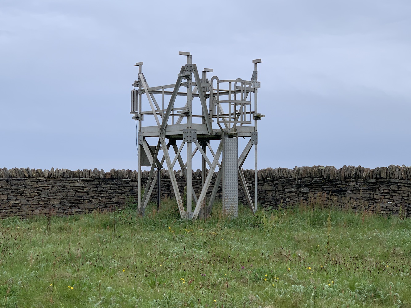
In recent years while I’ve been visiting lighthouse of all shapes and sizes, particularly those smaller lights in Scotland, I’ve seen a number of very negative comments about these modern lighthouses. What I am referring to here are the Northern Lighthouse Board’s SPLATs (solar powered lattice aluminium towers). That acronym describes it rather perfectly actually, although regular readers of my blog will be aware that I personally refer to them as flat-pack lighthouses.

A standard flat-pack lighthouse. This one is on Hoxa Head in Orkney.

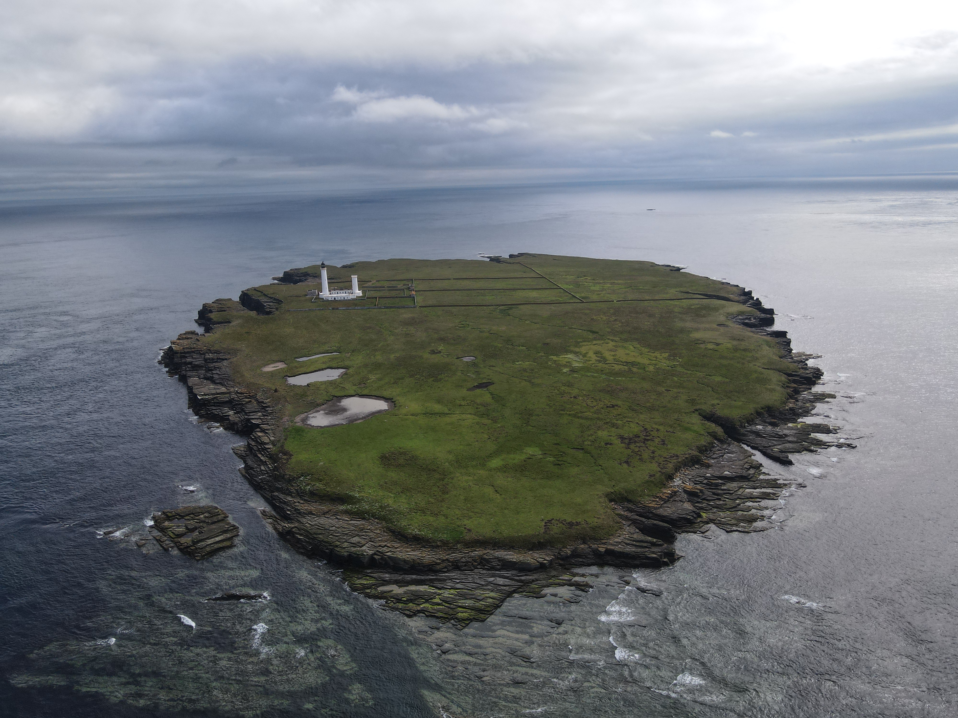
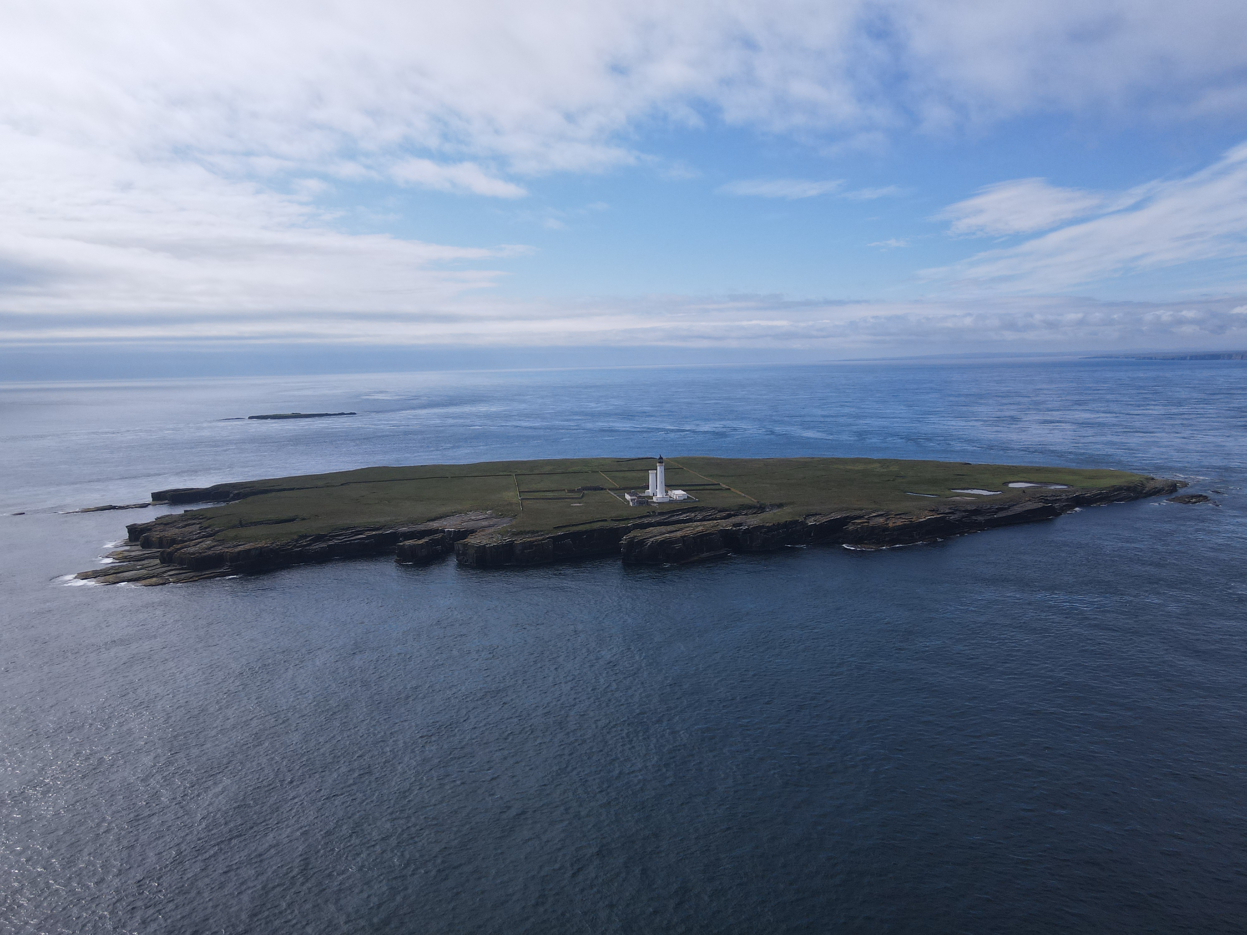
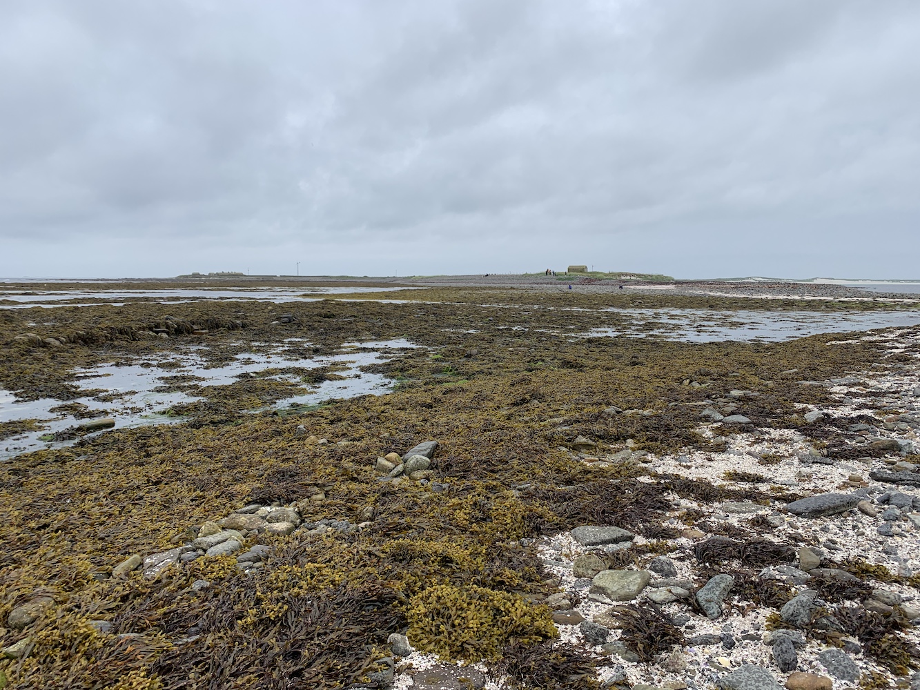
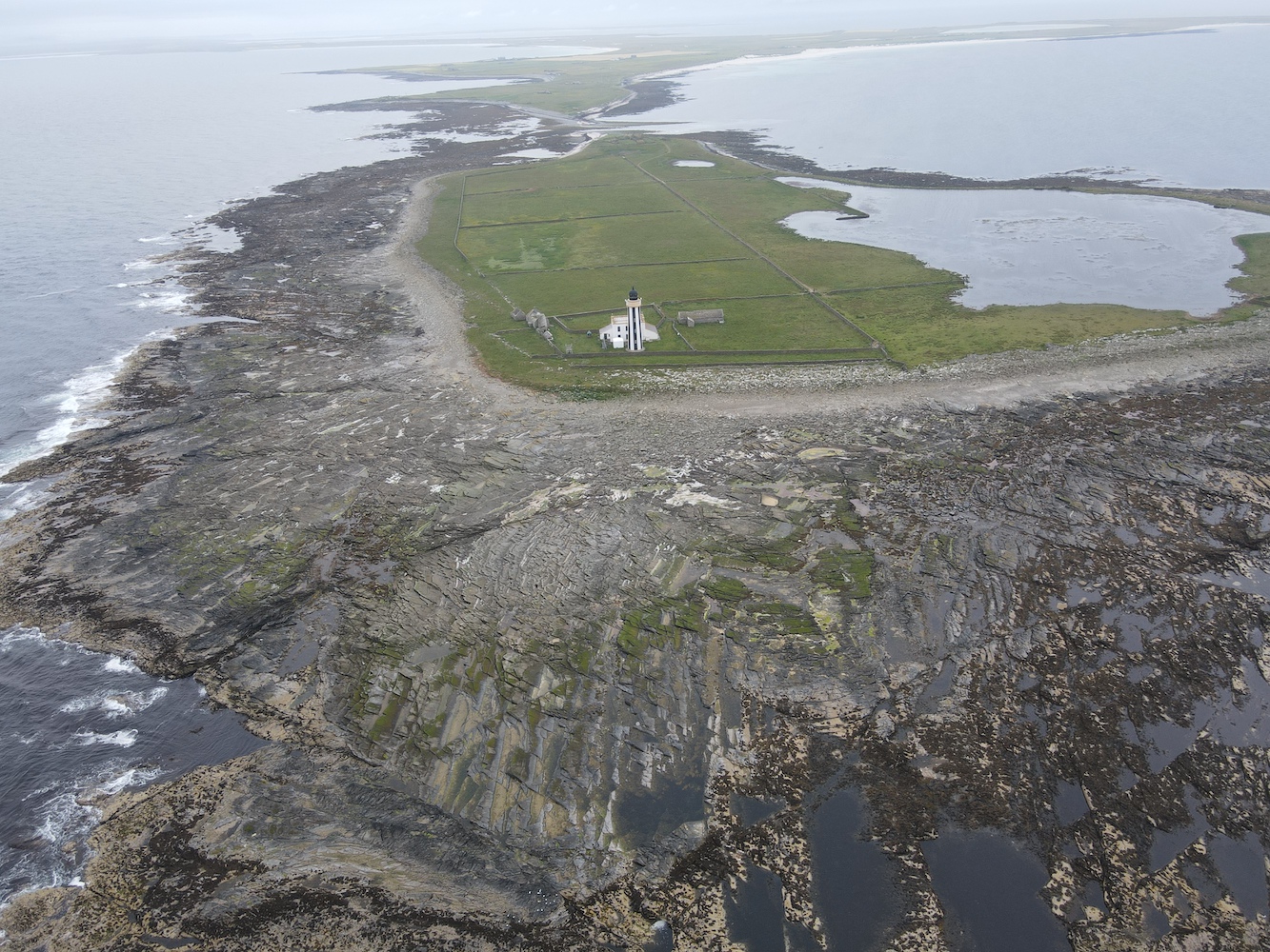
These towers are limited to only the north and west of Scotland, which gives a good indication of their often remote locations, on islands or tucked away on headlands. There are 53 of these structures in Scotland: 18 in Shetland, 2 in Orkney, 1 on the North Coast, 7 in the Outer Hebrides, 11 in the Inner Hebrides and West Highlands, 13 between Mull and Islay, and 1 in South West Scotland.

To start with, some history. My recent research suggests that, although it was around 1996 that these structures began to replace the older, small lighthouses, the two towers of this type on Gasay and Calvay – found on the approach to Lochboisdale in South Uist – were actually installed in 1985. These two framework towers aren’t as enclosed by the white cladding as many of the newer versions are, but they are still very much the same arrangement.

Gasay, one of the original flat-pack lighthouses.

I’ve been fascinated to find that the history of these towers actually goes back a lot further than I’d originally thought. Along with being left off most lighthouse lists, and left out of near enough all books on Scottish lighthouses, they are so rarely mentioned anywhere which is a shame as it appears they played a key role in shaping the future direction of small Northern Lighthouse Board structures for many years to come when those first two were installed.

For a good few years now I’ve had a growing appreciation of these structures. To begin my defence of them, I want to highlight the purpose of a lighthouse. Lighthouses, unless purely decorative, were never built for us land-based folk to gaze at adoringly. That is certainly the case for many of us now who travel to admire the big, old lighthouses. However, their primary purpose was to exhibit a light that could be seen at night and would help to guide ships. At night you can’t see the structure, all you know is that it’s a light helping to guide you or assisting you with working out exactly where you are. If it achieves that, regardless of what the structure looks like, then it is fulfilling its core purpose.

A variation on the typical flat-pack style lighthouse at Ornsay East Rock, Skye.

In an ideal world money would be no object, but of course cost plays a role when deciding what type of structure will be installed. As much as I love a large, dramatic lighthouse I recognise that, for any lighthouse authority, paying out hundreds of thousands (or more likely millions) of pounds to build a new one is not a wise financial decision.

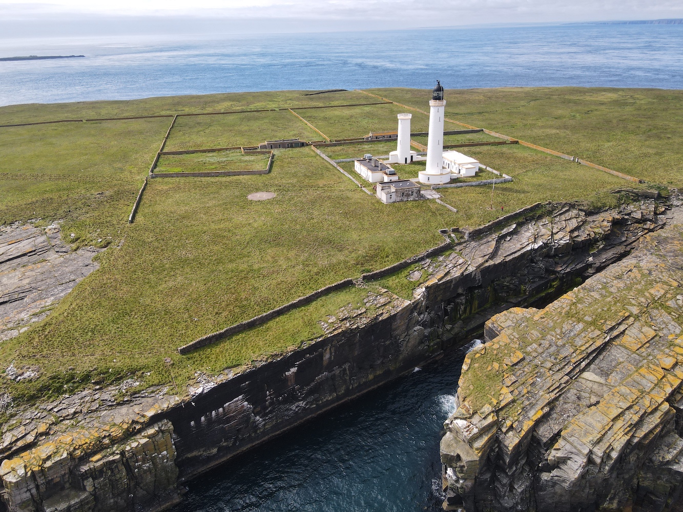
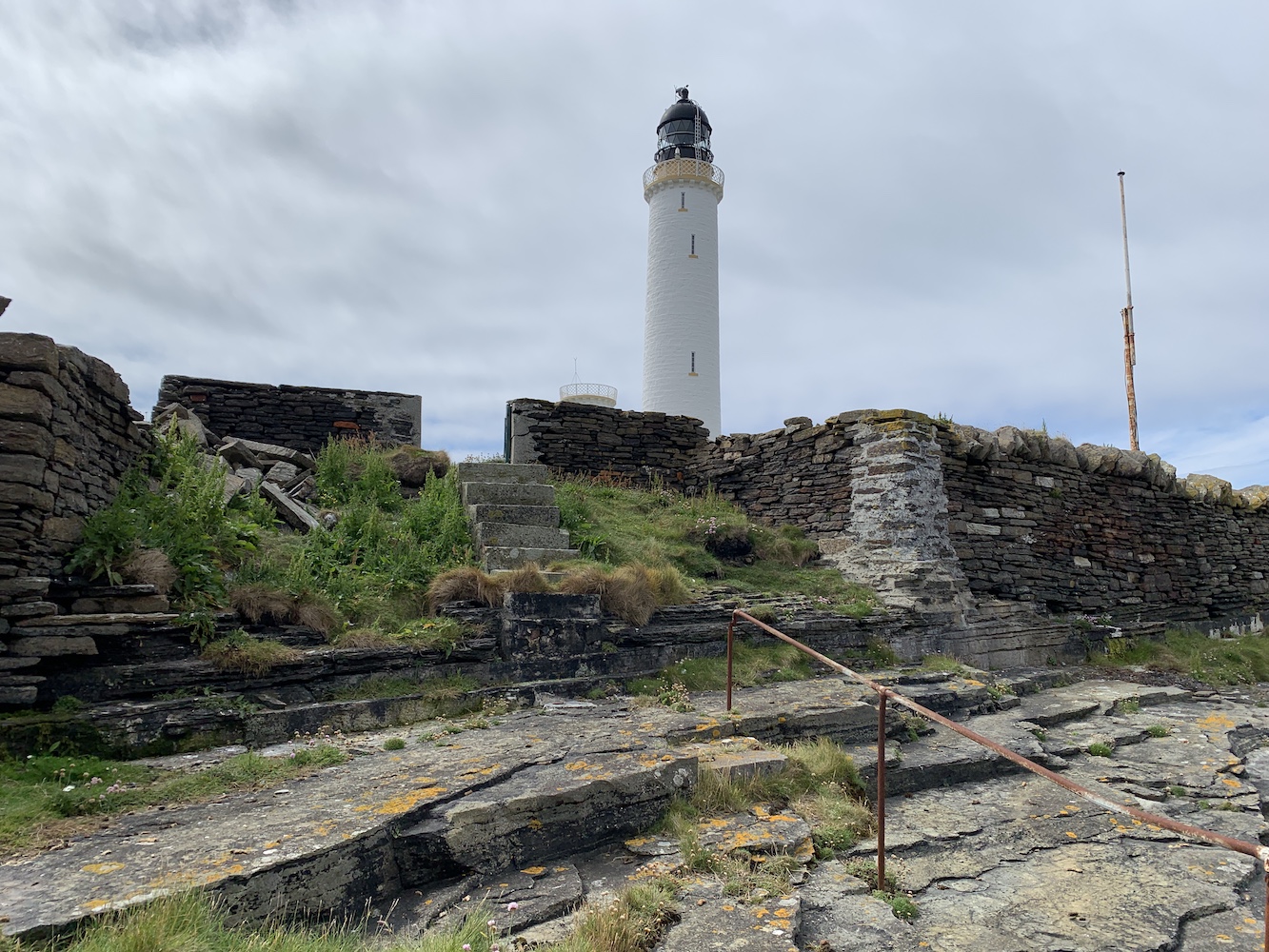
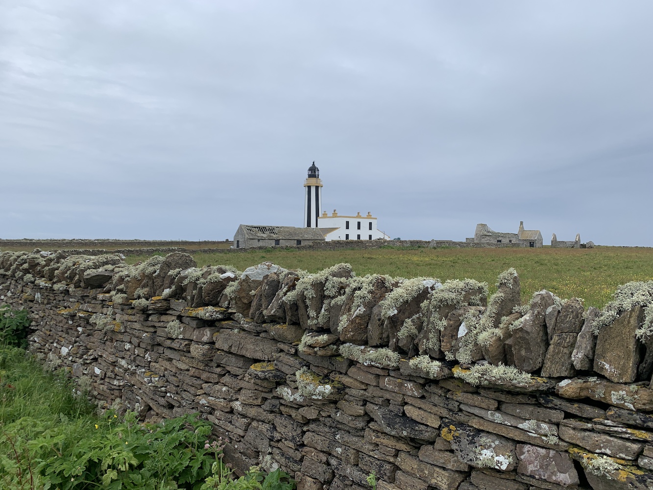
Financial restrictions force a company to look at what is required for the new or replacement structure in this case. The big lighthouses we all know and love were built to be lived in and to contain a considerable amount of machinery and equipment too. If you’ve ever been in a lighthouse that contains the old equipment you will see that even then a lot was squeezed into a small space.

The island of Siolaigh in the Monach Isles, Outer Hebrides, boasts both a traditional and modern lighthouse.

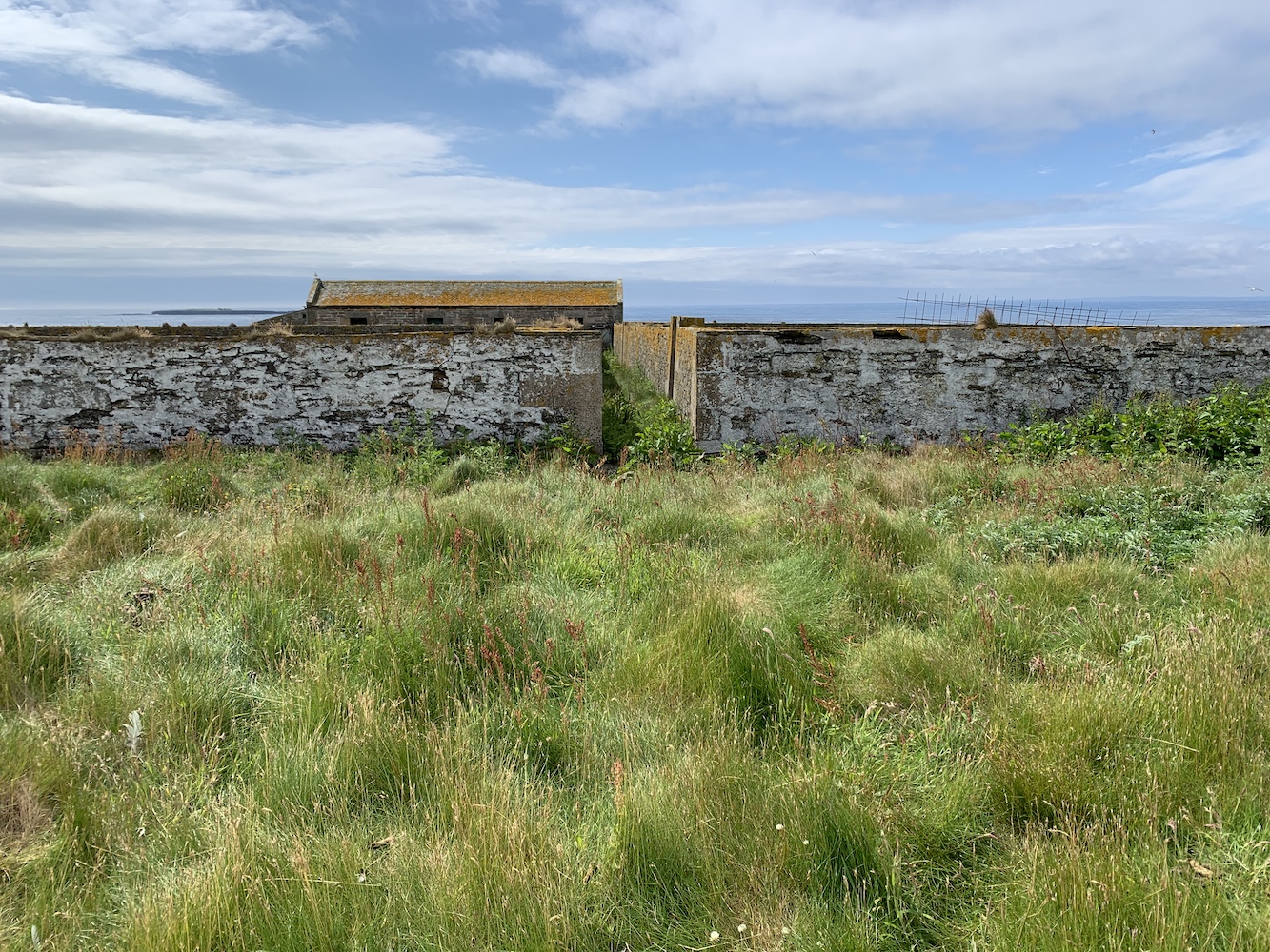
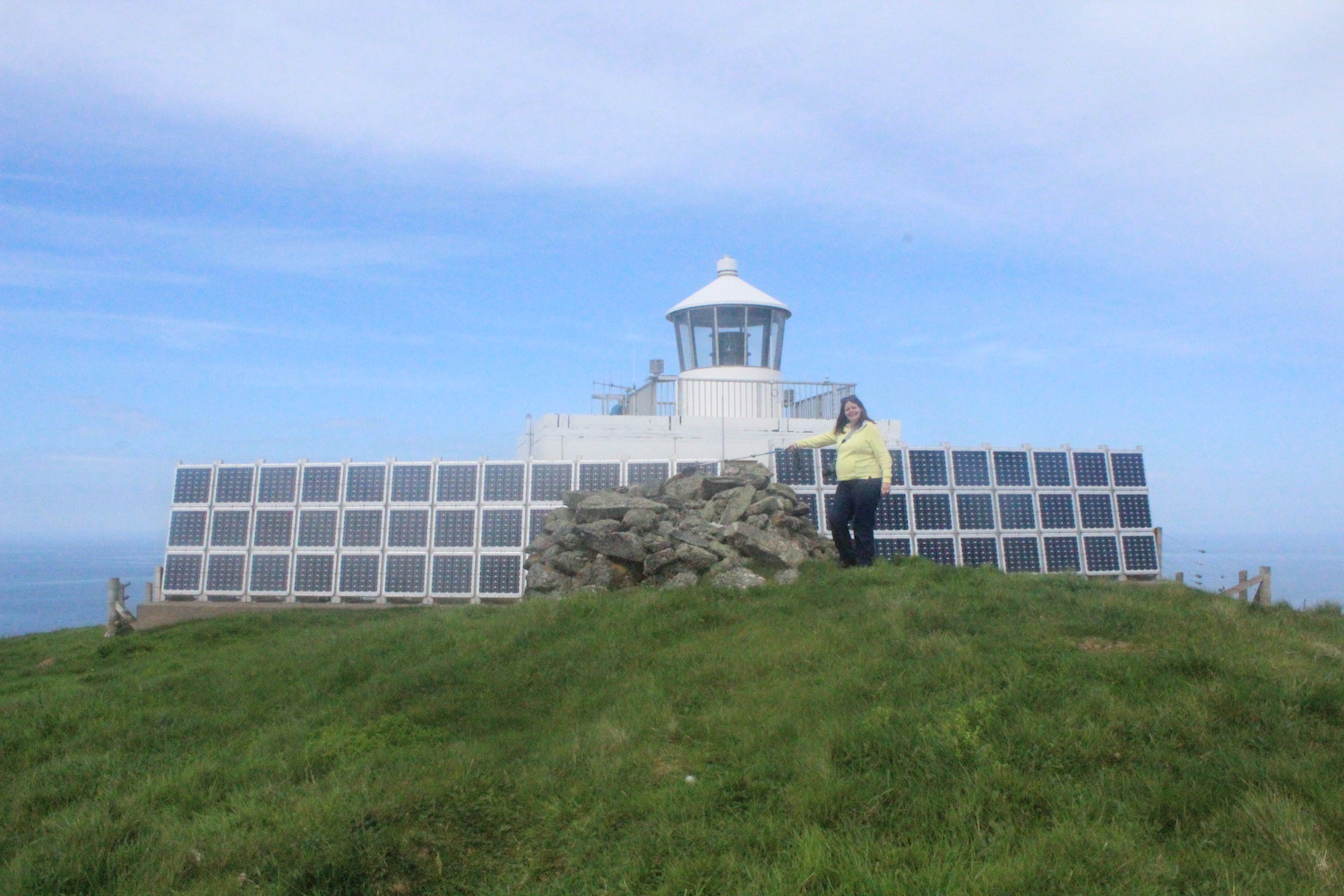
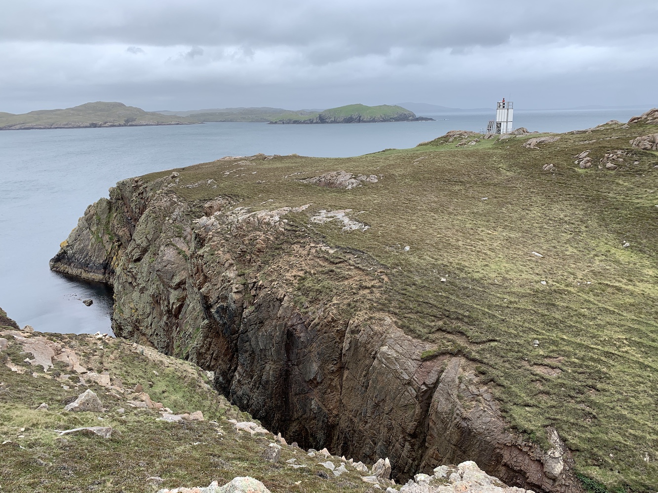
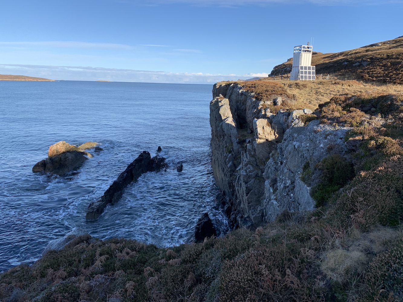
If you have ever visited one of the flat-pack type lighthouses you will see just how little equipment is in them, usually just one or two cabinets on the ground or first floor and then the external light and another small cabinet on top. There is no need for bedrooms, a kitchen, a bathroom etc. so it’s understandable that the decision wouldn’t be made to build a lighthouse that has the space to accommodate those.

The walk to Muckle Roe Lighthouse in Shetland is one of the best I’ve done.

I’ve often seen mentions of ‘The Stevensons would be turning in their graves if they saw these’ and I’m not so sure they would. The Stevensons were engineers. Yes, engineers probably like to design the most awe-inspiring buildings which would give them a big personal boost, but practicality is key for them and if they were having to work within today’s budgets I’m sure they would opt for this type too. The final generation of Stevenson lighthouse engineers designed a range of smaller wholly practical lighthouses, such as the former Sandaig Islands Lighthouse (pictured below). These lighthouses are not grand, although I am still very keen on them myself. They were a sign of the times and reflected the changes in what was needed for new and unmanned lighthouses as well as availability of more cost-effective materials.

The original Sandaig Islands Lighthouse was designed by the last generation of Stevensons. It is now located in Glenelg near the turntable ferry.

On a final and personal point, I’ve visited a considerable number of these flat-pack towers over the past 9 years and I’ve had some of the best days out with them as my objective. I’d like to share a few examples. The light on Loch Eriboll, my first flat-pack, is one of those I’m most fond of. It’s a relatively short walk compared to many of the others, as long as you know where to start and the right direction to head in. The coastline of Loch Eriboll is top class and my first walk to the lighthouse really kicked off my ever-growing appreciation of that loch.

Loch Eriboll lighthouse in the winter sun

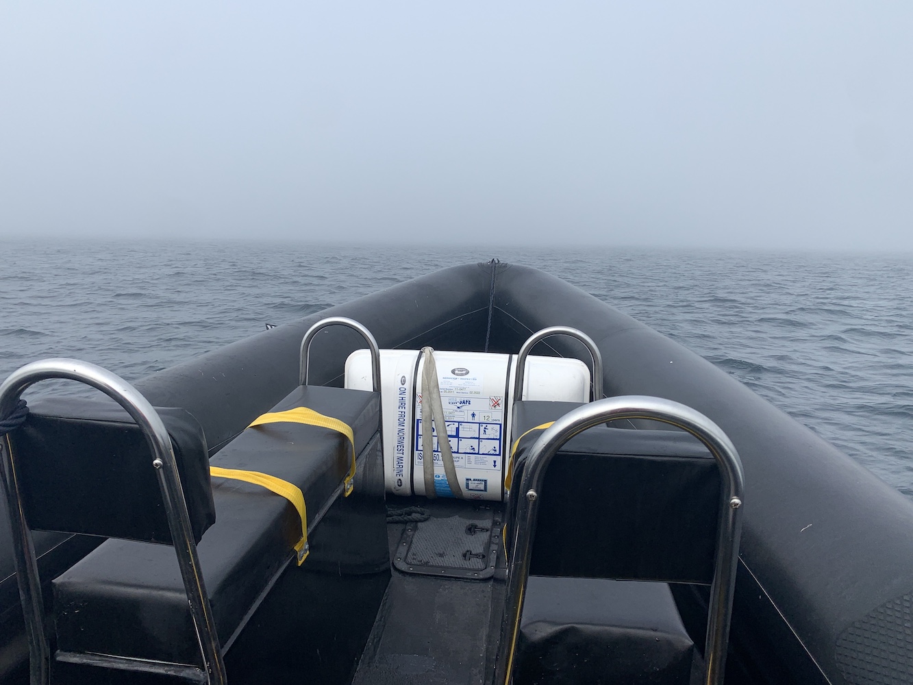
These lighthouses aren’t often easy to get to. You can’t drive to them as you can with some of the larger towers and they certainly don’t have obvious tracks or paths leading to many of them as all of the older lights do. Getting to the flat-pack now located on Cailleach Head near Scoraig was a massive personal achievement. I wasn’t sure I’d ever make it as I knew it involved a long walk in from the nearest road or making arrangements with a local boatman. This was also the case with Hoo Stack in Shetland, which was great fun to visit alongside some island bagging pals. The shared enjoyment with friends could very much also be said of Glas Eileanan (Grey Rocks Lighthouse) in the Sound of Mull, the Sandaig Islands light and Bunessan Lighthouse on the west coast of Mull.

Grey Rocks Lighthouse in the Sound of Mull

It’s not just friends though, my son visited his first flat-pack lighthouse when we walked to Point of Sleat. It was a great walk, but was super windy and I remember well us setting up a little pop-up shelter not far from the lighthouse to hide away in at lunchtime with the little man. My daughter only recently bagged her first flat-pack lighthouse, the newest one, Rubha Cuil-Cheanna near Onich. That was a great walk made slightly more challenging by having the kids to keep safe, but still good fun.

Rubha Cuil-Cheanna, the Northern Lighthouse Board’s newest addition.

There have been some fairly unique experiences involved in reaching them too. Wading through a channel of water to get to the flat-pack on Hestan Island was great fun. Visiting Papa Stronsay was also an interesting experience with the island being home to the Golgotha Monastery and having a long history of occupation by religious groups.

The tidal section, taken from Hestan Island

There have been so many great times getting out to these small but really important little structures. I suppose if there was one final thought I would like to end on it’s that, with the recent addition of the Rubha Cuil-Cheanna light, I’m just glad they are still adding new lighthouses, even if it is only one every 11 or so years 🙂

Joe goes to Pentland Skerries

On our way to Orkney last weekend we took a detour to John O’Groats to check on the developments around the old Duncansby Head foghorn. The area has really come on over the past year which is great to see.

The old Duncansby Head foghorn at the start and finish of the John O’Groats Trail

While we were there we spotted a black RIB zooming about just off the coast and noticed a little cabin for OceanTrek who operate the RIB. Never one to ever miss an opportunity to fly Joe the Drone, once the skipper was back on land Bob approached him and asked if he would be willing to take us out to Pentland Skerries during the week coming. After exchanges of pictures of the landing area there between Bob and Alex the skipper, it was agreed we would head out on Tuesday morning.

Arriving on Tuesday we got ready to go and set off. About five minutes or so into the journey it became very clear that a large and never ending bank of mist was creeping in from the east as it so often does. Within another few minutes we were in it and the decision was made to return to John O’Groats and try again another time. The speed at which the mist came in was really quite incredible. Even the lady who works in the little food cabin said she’d just left the hatch for a couple of minutes and came back and it was there. The joys of the east coast!

The mist emerging over the Pentland Firth

After numerous checks on the weather later in the day on Tuesday it was agreed that we would try again on Thursday morning. Waking up to mist at home this morning it wasn’t looking likely we would make it out again, but thankfully Alex reported no mist over in Wick, which would give a far better indication of what it was like at John O’Groats.

Conditions were great for the trip today and we hopped onboard the RIB and off we went. We knew conditions were better as we could see the two towers on the island of Muckle Skerry, the largest of the Pentland Skerries group. Between John O’Groats and Pentland Skerries the sea gets really interesting for a while. I recalled being told about it by the skipper for Caithness Seacoast in Wick when we went out with them back in 2013 (a note for anyone looking to visit in future, Caithness Seacoast will no longer land people on the island) and thinking at the time ‘I’m glad we’re not going through that!’ Today, however, we did go through it and it was expertly handled by Alex.

Much clearer today approaching Muckle Skerry

A short while later we arrived at the landing area and edged in slowly to avoid any rocks just under the surface. It was a bit of a step up, but Bob threw himself up and then he and Alex helped me (and my short legs) up. There we were on the island again.

The view from above the geo where we landed on the island

It was great to see those two towers again and the various views of them on the approach are always superb.

Of course the main purpose for this visit was so Joe the Drone could get some of his usual spectacular shots and he certainly did that.

Pentland Skerries Lighthouse and the former Low Light tower

We had a really good amount of time to explore the island today too and one of the most interesting parts I’d not seen before was the natural geo just to the north of the lighthouse. Muckle Skerry looks like a fairly low lying island from afar, but the cliffs in the group are impressively high. There is evidence here too that it may have been used at times for landing and lifting goods up for the lighthouse.

The view down into the geo
The lighthouse and geo from above
The view of Pentland Skerries Lighthouse from the geo

Since my last visit two years ago little has changed. The lighthouse and old tower are still looking glorious while the old keepers cottages are clearly not being maintained. The thing I find really frustrating about this is that someone has clearly bought the island including the cottages and yet is doing nothing with them. At the same time the owner doesn’t want anyone to go there, which they can’t enforce given Scotland’s freedom to roam legislation. It is yet another case of people buying things, not looking after them while not wanting anyone else to enjoy them. But we go there anyway so I can’t complain too much!

This time I really wanted to find the graveyard and old memorial stone that marks the loss of seven crew members from the Vicksburg, which was wrecked off the Pentland Skerries in 1884. While some of the crew were helped ashore by the lighthouse keepers those buried on the island weren’t so fortunate. The memorial stone also marks the loss of two of a Principal Lighthouse Keeper’s children who passed away on the island. Unfortunately, yet again I had no luck in finding it, but next time I will make sure I’ve done my research.

Considering the lighthouse grounds and buildings take up a relatively small area on the island there are plenty of old buildings and walls in various states of repair

There was plenty of bird life around today with gulls, terns, skuas, puffins, fulmar, razorbills and various smaller birds too. We tried to minimise any disturbance to them and thankfully the terns and skuas didn’t swoop, which is always a worry.

Arriving back at the boat it was great to hear that the crew had enjoyed their visit too, particularly seeing the number of puffins around and enjoying the sunshine which very kindly made an appearance not long after our arrival. We hopped back down into the boat and Alex sailed around the north of the island for a different view on the way back. It was a pretty short journey back to John O’Groats – the boat can certainly go fast, but we took it a bit easy going back through the bumpy section, which wasn’t too bad.

Enjoying the journey back

It was an excellent hour and a half spent on a really interesting island. Although I’ve been there three times now it doesn’t lose its appeal and actually it becomes more and more fascinating each time. I’ve only just got back, but would love another chance to go out there again 🙂

A backup plan with a bonus

For the last couple of months we’d had a lovely long weekend away to the Western Isles planned, including being on a chartered boat out to Sula Sgeir and North Rona, which I’d previously visited back in 2014. We had accommodation organised, ferries booked and had got the green light from the organiser of the trip. All was well, but actually it wasn’t, which I realised the day before we were due to leave when my good pal John called to check which ferry we were booked on as the time I’d told him didn’t tie in with any of the sailings. It was then that I discovered somehow we’d managed to book the ferries the wrong way around and we were due to sail from Stornoway to Ullapool instead of the other direction on Friday. We made a hasty call to Calmac having checked all sailings to the Western Isles to find nothing was available. The man on the other end of the phone confirmed this was the case and apologised, to which I reminded him it was our fault for getting the booking wrong in the first place so he had no need to apologise. With no way to get across there (due to COVID-19 related restrictions we couldn’t even hop into a friend’s car as they had no space even for extra foot passengers), the decision was made that we needed a backup plan.

6 months pregnant at North Rona back in 2014. A revisit this time just wasn’t meant to be

I didn’t want to drive for hours as that’s an easy way to waste a weekend and so I began researching Orkney and, more specifically Westray for Noup Head Lighthouse. The ferry times didn’t tie in and, wanting to leave North Ronaldsay for another time, I took a look at Start Point Lighthouse on a tidal island off Sanday. The fact that the island is tidal has made it a really tricky one to get to and I’d previously resigned myself to the fact that we’d need to stay overnight on Sanday sometime to be able to do it. Thankfully, looking at the tide times for Sunday, I found low tide in the area to be at 1.50pm with the ferry arriving 10.25am and then departing at 5.40pm. It seemed to me like an ideal day to get to Start Point Lighthouse finally.

Luckily Bob agreed to my suggestion and suggested I contact a friend who lives on Sanday to see if he knew of anyone who had a key to the lighthouse and could show us around. I thought it was probably a bit of a long-shot especially given the current pandemic, but it was worth a try. The lighthouse used to be open routinely with guided tours run by the Sanday Ranger, but these tours no longer take place. It didn’t take long to get a response from our friend with a couple of people to contact. I called and left a message with the man suggested as the best place to start and he got back to me later that day (this was Friday so there wasn’t much time to organise it) and said I’d need to get permission from his manager, but that he’s be willing to show us up the tower if his boss said yes. Rather fortunately I had met his boss on a couple of occasions over the past two years and when I called him he said he was happy. So it was all planned and I was going to get inside a lighthouse for the first time in 17 months!

The (correct) ferries for Orkney and Sanday were booked and camping arranged in Kirkwall so on Saturday we set off. Upon arriving we took a drive up to Birsay for a look at Brough of Birsay and its lighthouse.

Brough of Birsay
Brough of Birsay Lighthouse

Joe the Drone took a fly around his first Orkney lighthouse there too.

A Joe the Drone’s eye view of Brough of Birsay

Sunday morning came and it was off to Sanday. Heading straight for Start Point, I contacted Ian to say we were on the island and he confirmed he was just heading over to the lighthouse. Reaching the end of the public road we found the three spaces in the parking area already full so we found a verge further back that wasn’t blocking any gates etc. and began the walk. The first bit was easy, following a good path along the coast.

On the way to Start Point with the lighthouse in sight

The section between the main island and Start Point is rather deceptive. Initially you see a seaweed-covered track leading towards the tidal bit and think ‘oh, that looks fine to cross’. It’s not until you get beyond it that you encounter the very tidal section, which was still very wet when we arrived. At this point it was 2.5 hours before low tide and, as Bob escorted me across the seaweed and very wet bits like I was an old lady, we both ended up with wet feet. We made it to the other side though with no mishaps and then the path was easy going as the lighthouse got closer and closer.

Looking back across the tidal section about 2.5 hours before low tide

As we approached the lighthouse Ian, our tour guide appeared, and after a short chat we were off into the tower. Ian was wearing wellies, which is something I would highly recommend to anyone considering visiting Start Point – not for the tower of course, but for the crossing.

The unmistakable Start Point Lighthouse

Now climbing a lighthouse can cause some breathlessness anyway, but climbing with a face mask on makes it a lot harder. It wasn’t so bad though and I was just glad it wasn’t North Ronaldsay (the tallest land-based tower in Britain) we were going up.

The staircase inside Start Point Lighthouse

After the spiral staircase there were the obligatory ladders to climb and then, there we were, right at the top with some stunning views in all directions. Looking back towards Sanday, out towards the sea, down on the old ruined buildings, there was plenty to see and Ian pointed out roughly where the previous lighthouse used to be.

Based on maps we later saw at Sanday Heritage Museum, the former lighthouse would have been in the top right hand corner of the square field, next to the old buildings

Start Point had confused me for some time. On the Northern Lighthouse Board’s website the tower/light is dated 1806, but other sources said the current tower replaced the 1806 tower in 1870. I thought there was no better way to find out the truth than to look and ask around locally. Ian confirmed the current tower is the second with the first one introduced as a day mark in 1802. When wrecks continued to occur in the area it was decided a light was required and so a lantern and light replaced the stone ball on top of the tower (the ball can now be found on top of the old North Ronaldsay lighthouse). It was the first lighthouse in Scotland to have revolving lighthouse apparatus, paving the way for the light characteristics used in all lighthouses today and listed in the Admiralty List of Lights.

Ian opened up the wonderful fourth order Fresnel lens to show us the bulbs and explained that, for a while, there had been the risk of the lens being removed from the tower and replaced with a modern LED. It now sounds like this is not going to be the case, which is always a pleasure to hear.

Start Point Lighthouse lens
Inside the lens

Back down on the next floor Ian opened up the door to the balcony and we were blessed with even better views of the surrounding area. The tide at Start Point is really interesting. There is roughly 45 minutes in time difference between high and low tide on either side of the tidal section getting out to Start Point. Ian explained just how unpredictable the tides can be there and that he limits his visits to 2 hours maximum in order to make sure he can get back across to Sanday safely.

The view from the top of the lighthouse. Ian pointed out how the rocks almost look to be shaped like waves in places.
With Ian at the top of Start Point lighthouse

Back down the bottom of the tower I gave Ian a copy of my book as a little thank you gift. I think it’s safe to assume that anyone who signs up to be a Retained Lighthouse Keeper must have an interest in lighthouses. We bade farewell to Ian and set off to explore some of the ruined buildings in the area as well as getting some awesome views of the very unique striped lighthouse.

Start Point Lighthouse and part of the old mill buildings nearby
Start Point Lighthouse from the east

In the grounds of the lighthouse was a framework platform the type of which I’d seen at Ushenish last year. Since that visit I’ve been informed that it was a wind power trial the Northern Lighthouse Board has carried out, but (as at Ushenish) it had failed as it was blown to pieces within the first couple of weeks.

The platform used to test wind power generation at Start Point

Stopping for lunch it was time for Joe the Drone to have another flight and, as usual, he caught some fantastic shots from the sky.

Start Point Lighthouse from above with Sanday in the background
Joe’s view of Start Point

Once Joe was safely back down it was time to head back. It was still 50 minutes before low tide, but the tidal section was significantly less wet than it had been on our outward journey. I wouldn’t go so far as to say dry as I imagine with all the rocks and seaweed it never really completely dries out.

We paid a visit to Sanday Heritage Centre on the way back and the lady handed us their reference book about the lighthouse, which had some great little pieces in it and further confirmed the history of the lighthouse(s) mentioned above. There was a large poster on display about the lighthouse, showing an old map with the location of the former lighthouse, which having been there, we were able to picture how it would have looked out there.

That evening, leaving Sanday behind, I was satisfied in the knowledge that sometimes things happen for a reason. If the reason for the incorrect Western Isles ferry booking was that I really should go to Start Point instead then I’m certainly not complaining 🙂