
In 2015 – almost exactly 6 years ago, in fact – we took a tour with Calum’s Seal Tours from Plockton for a closer look at Eilean a’Chait Lighthouse. Having done that trip it was one I thought I’d never manage to get a closer look at…
Fast forward to the week just gone when Bob said to me ‘Do you fancy going to Eilean a’Chait and landing?’ to which I obviously responded ‘Of course’. It was a few minutes later that he announced we’d be going by kayak. There have been a few occasions when Bob has made announcements like this and a wave of dread has swept over me. The first time it was skiing (which I didn’t enjoy so much), the second time was going up in a tiny helicopter to fly over Mew Island (which I thought was great fun in the end, Bob thought otherwise, especially when I took control of the steering!), and the last time was a skid control driving course, which was frightening. Nevertheless, each time I did them and accepted that I was being forced out of my comfort zone. This time I knew would be no different and I just had to get on with it.
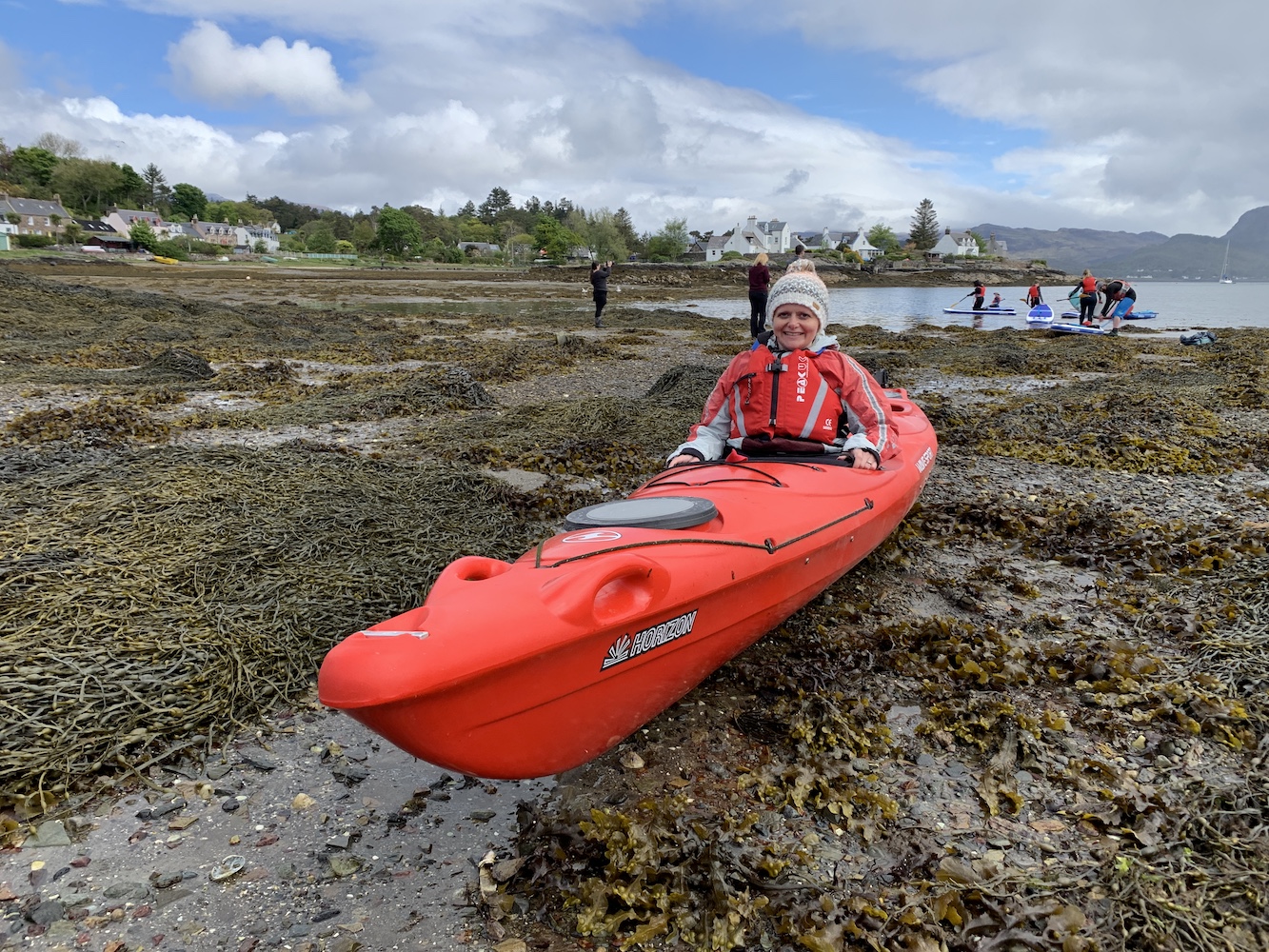
We arrived in Plockton this morning ready to meet Willie from Sea to Skye and our fellow novice kayakers for an introduction to kayaking course. Bob had hired a double kayak for us and made Willie aware that our key priority was to get out to and landed on Eilean a’Chait.
One of many things I’ve learned from today is that kayaking takes preparation time. You don’t just turn up, jump into the kayak and go so there was plenty of time for me to stand around thinking ‘Can we just get this over with?’ After some really handy advice on how to get into the kayak, paddling techniques, and what to do if you capsize (terrifying!) we were ready to go and off we set.
We spent a while in the harbour at Plockton just having a try before Bob and I were sent off with a couple of the guides to head straight for the lighthouse. It was actually really quite relaxing, apart from the occasions when Bob decided to paddle like there was no tomorrow and any attempt I made to paddle along was lost in the midst of his frantic oar-use.
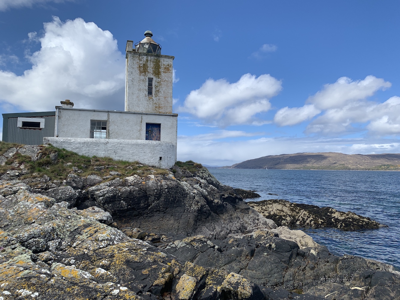
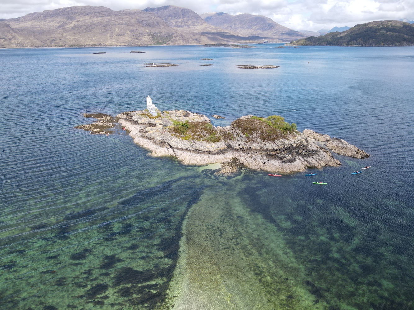
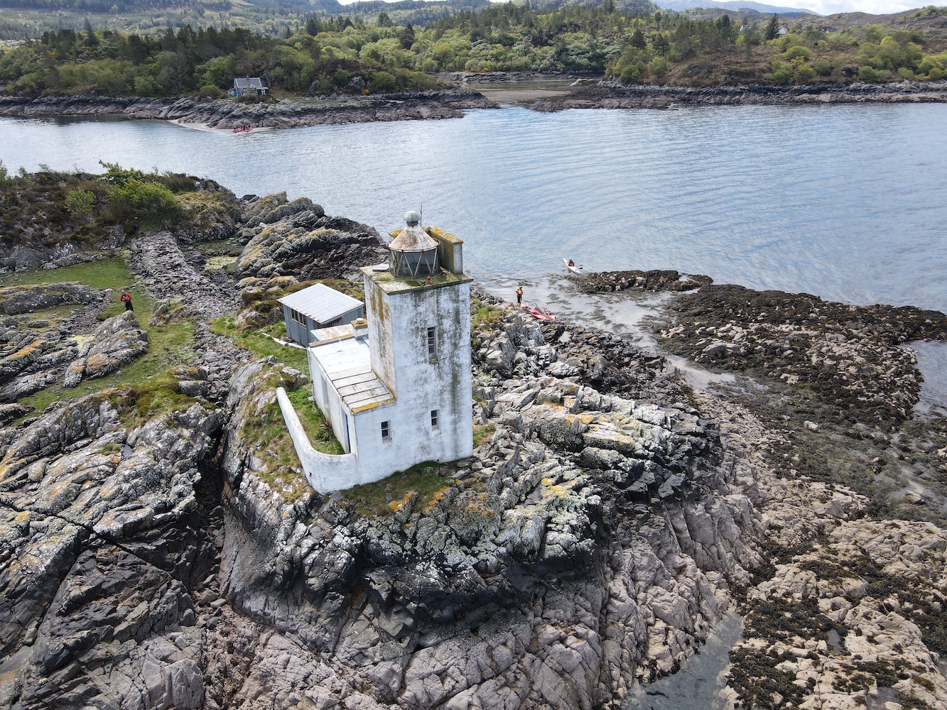
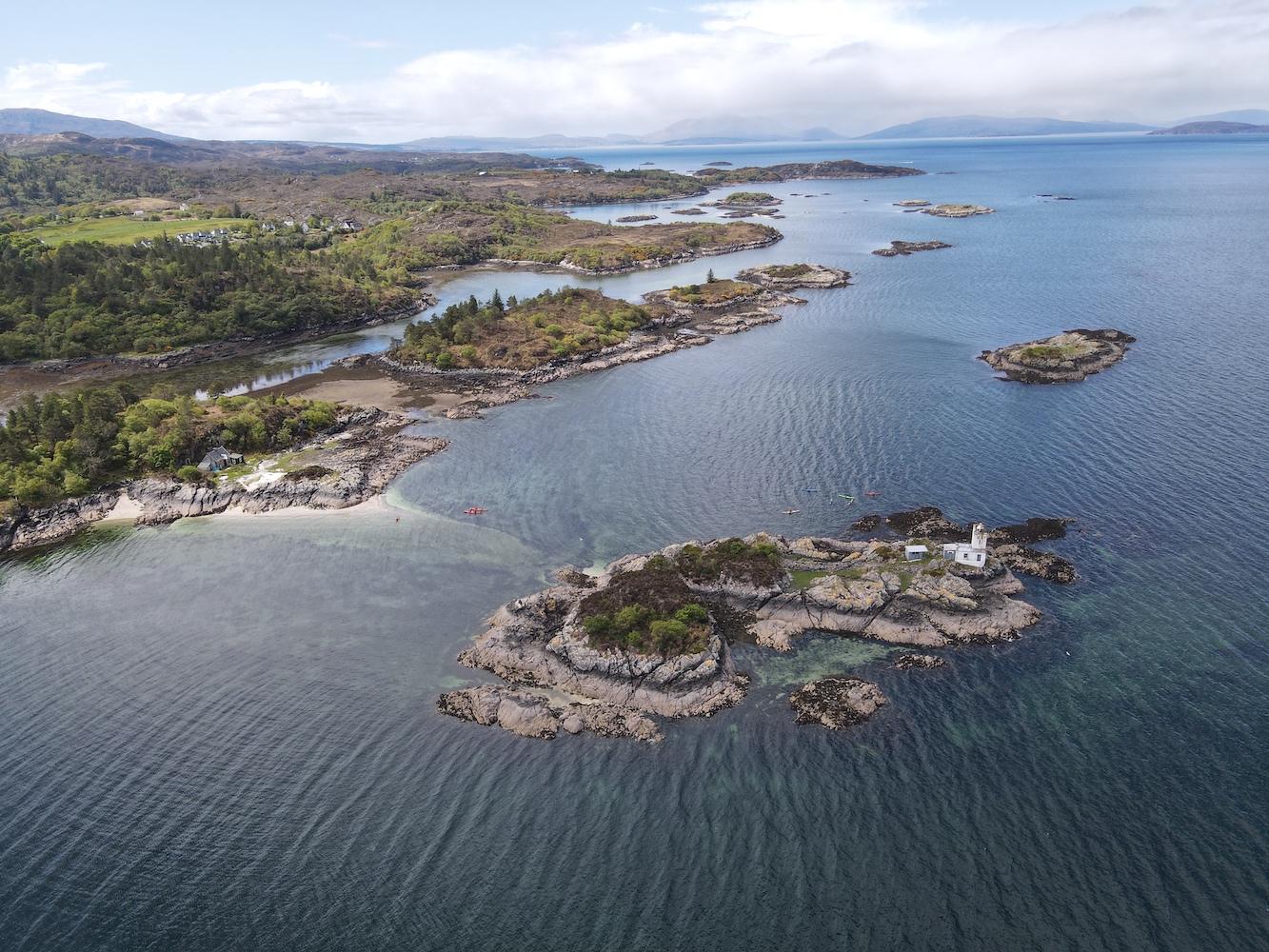
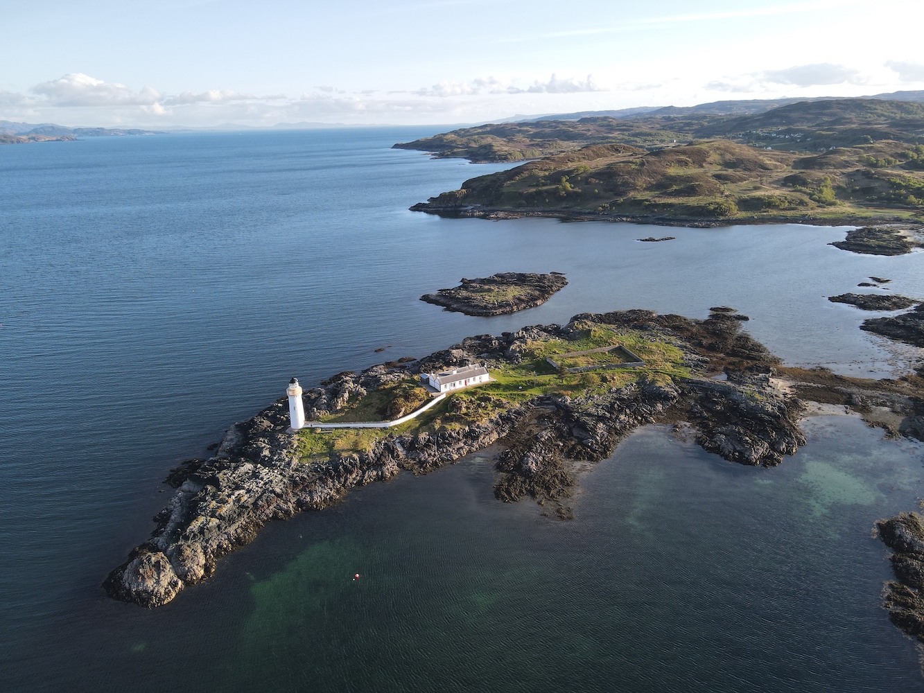
After a while the lighthouse came into view as we neared the neighbouring island of Eilean-an-Duine, which is where the house for the former keepers’ family is located. The house can still be seen today and at low tide it is possible to wade between the two islands. This time we were aiming straight for the lighthouse though and we found a nice little seaweed pool to stop alongside the rocks and haul ourselves out of the kayak. It was a bit of a scramble to get up to the grass at the top of the island and there is actually very little grass there, but the barnacles on the rocks were great for grip even if they were a little rough on the skin.
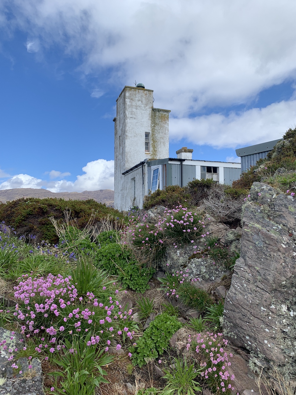
Eilean a’Chait Lighthouse, or Plockton Lighthouse as some call it, is looking a little worse for wear. It’s now privately owned and there is some evidence that work has been done here to renovate it, but maybe that the work has come to a bit of a standstill. I am told that it was open as a holiday let some years ago.
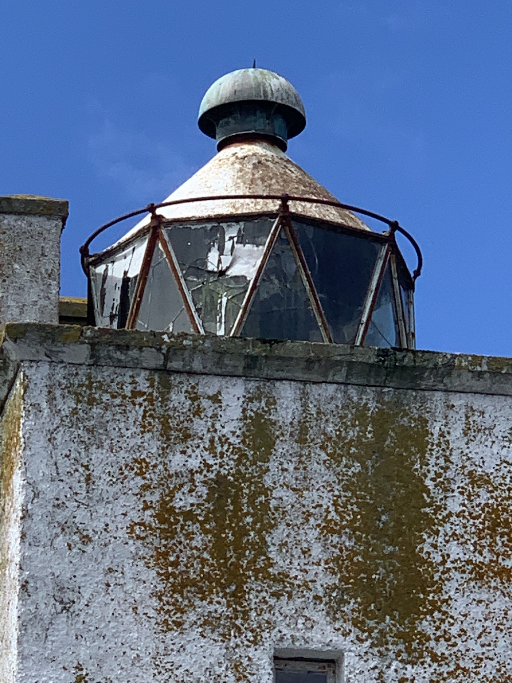
The lighthouse actually had quite a short-lived period as an active aid to navigation. It was built around 1880, 10 years after the train connection between Dingwall and Stromeferry was introduced. From Stromeferry people could catch a steamer from the pier over to Skye and this light was deemed necessarily for the steamers to navigate the surrounding waters safely. There are varying accounts of when the light was deactivated, with one source citing 1904 and another the 1920s. Either way its discontinuation ties in with the further extension of the railway to Kyle of Lochalsh, which provided a much shorter ferry route to Skye.
The two of us explored the island for a while as our fellow kayakers glided across the calm sea surrounding it. It’s a really interesting island and was also great to see it from above with some Joe the Drone images, including one which clearly shows the shallow the sandbank between Eilean a’Chait and Eilean-an-Duine.
After a while I made my way back to the kayak while Bob quickly bagged the island high point. Once we were safely back in the kayak we set off to meet the others for lunch on a beach to the west. It was a good opportunity to have a chat with Willie, the other guides and others in the group. Willie explained that when he’d heard that a lighthouse bagger was coming along he thought I must be mad, but he actually admitted that having talked about lighthouses for a while he could understand the appeal.
Continuing further west it was getting quite choppy on the water and paddling was getting much harder. Turning back we were told to aim for the lighthouse, which was just fine with me. Bob and I returned to shore with Chris the guide while the others continued on for a bit longer. Frankly I was pretty tired by that point and felt the need to stretch my legs. It was an excellent adventure and I was nicely surprised that I felt very safe out in the kayak and that getting into and out of it during the day was actually not as challenging as I’d expected. Kayaking would certainly be something I’d be up for doing again – so well done to Willie and his team (and to Bob of course) for making it such an enjoyable day out.
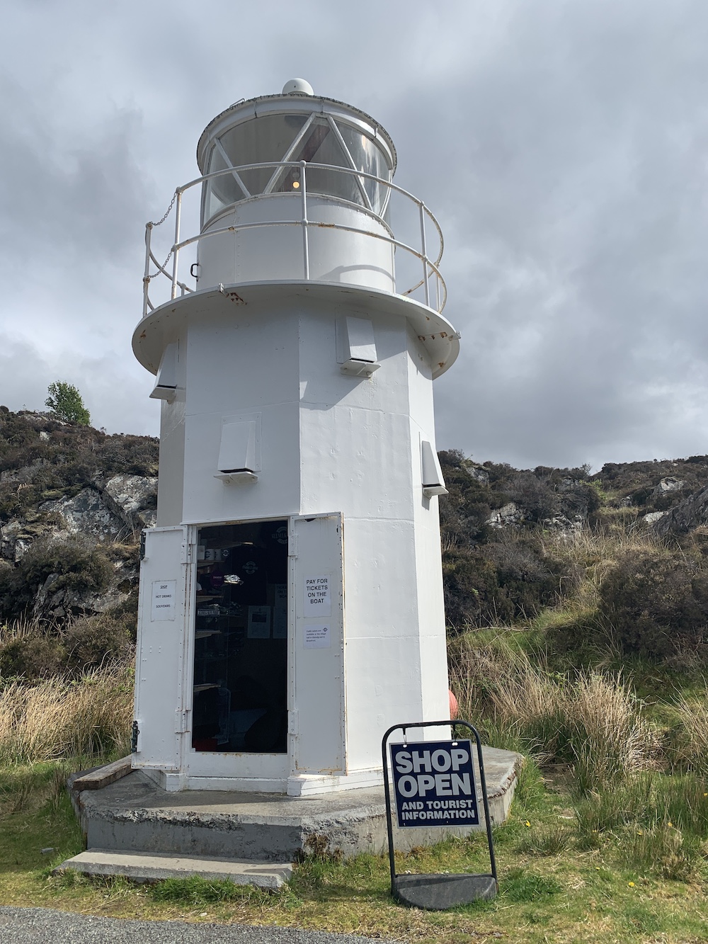
By the time we were back in the car and heading off I was pretty worn out, but there was still work to be done. We’d decided to use the afternoon to catch the turntable ferry from Glenelg to Kylerhea and then see if we could touch the little Kylerhea Lighthouse. We were looking forward to a cup of tea in the old Sandaig Islands Lighthouse, now positioned just at the top of the ferry slipway, but sadly the flasks were no longer there and it looks like a tea room has opened nearby instead.
While we waited for the ferry Joe the Drone took another spin.
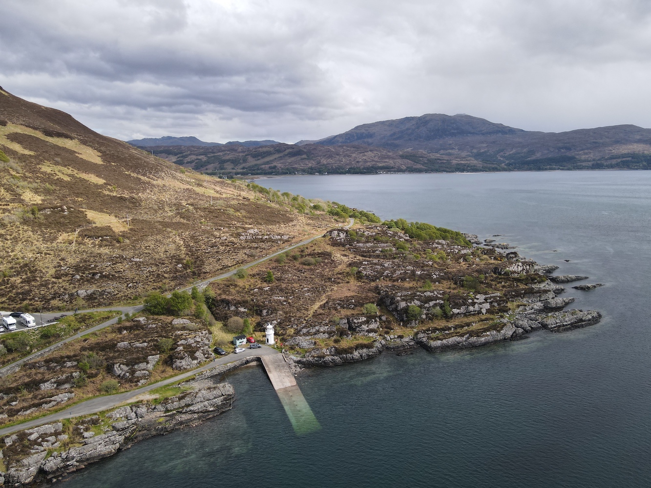
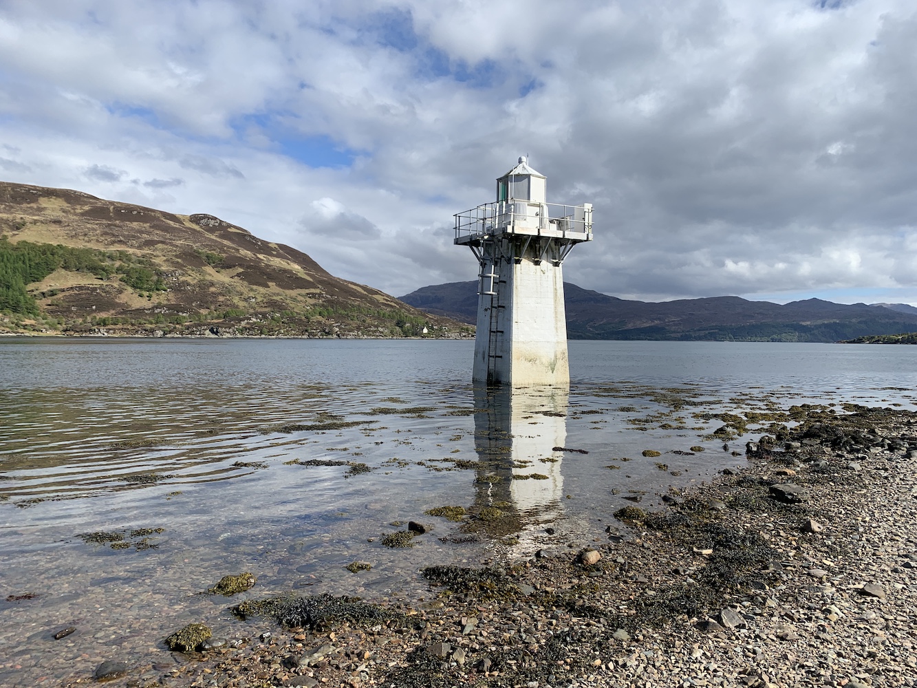
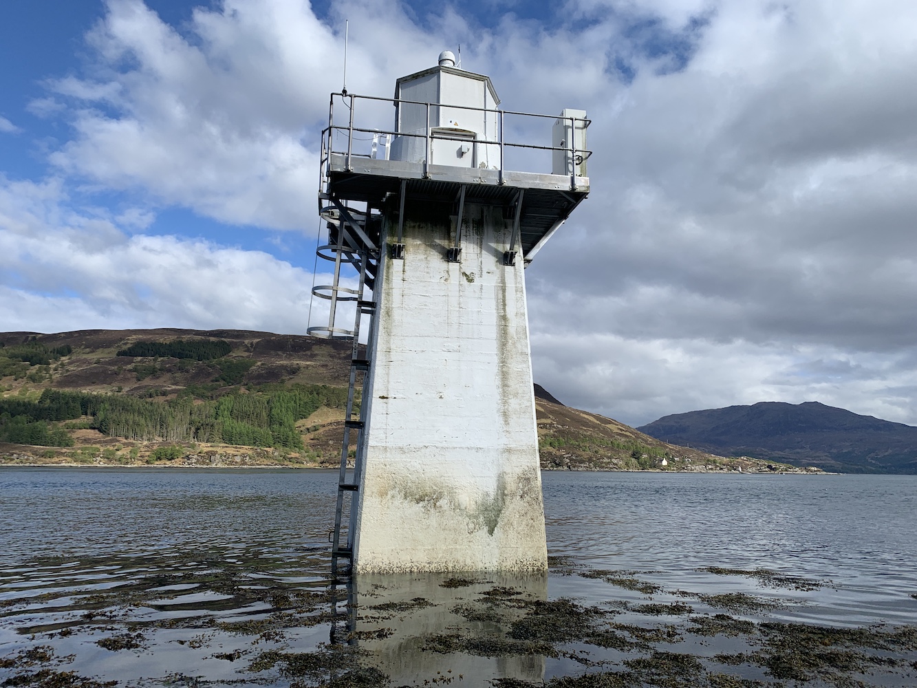
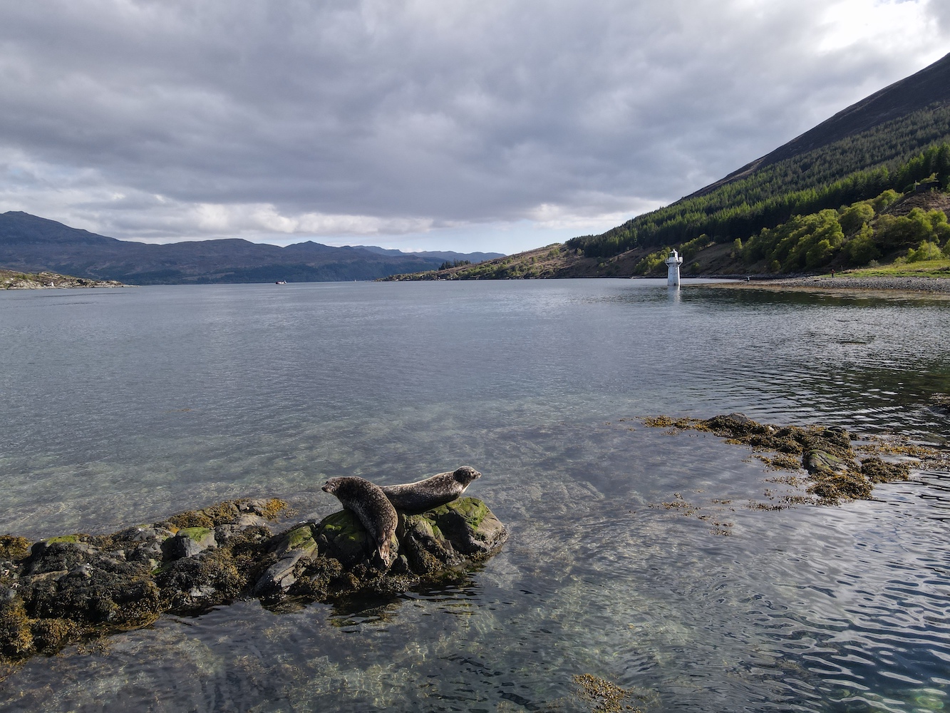
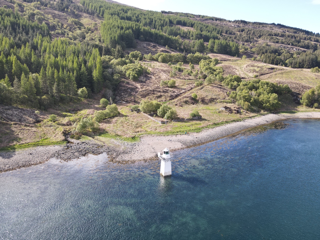
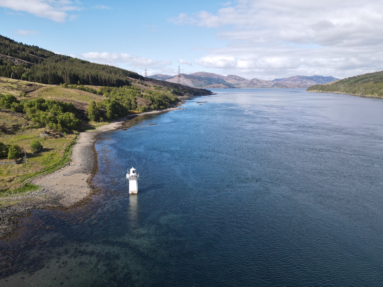
Once in Kylerhea we headed for the car park for the bird/nature hide, which is a good (or probably the only) starting point for walking to the lighthouse. Last time we visited part of the path down to the shore had been washed away so we weren’t able to get so close. This time though we followed the little track down to the pebbly beach. It was only an hour after high tide so I couldn’t touch the lighthouse, but it was nice to see it much closer than before anyway.
It was also another outing for Joe too.
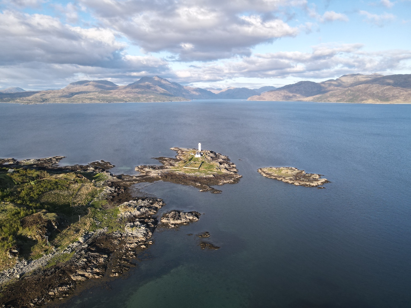
It would have been rude not to have given Joe the chance to clap eyes on the beauty that is Ornsay lighthouse when we are staying so close to it, so we made one final stop on the way back.
It’s been a thoroughly exhausting day, but also great fun. Don’t tell Bob, but I’m quite glad he organised the trip. 🙂
