
In the effort to visit every lighthouse in Shetland at some point I was going to have to do the walk out to Bagi Stack on the north west point of Yell. There was no boat trip today due to crazy wind and, as a result, far too much swell. Though the wind might make walks in exposed locations a bit less pleasant, my lighthouse pal John and I decided to give it a try today, knowing full well from the very start that it wasn’t going to be easy.
The start point for the walk is at Gloup, beyond Cullivoe. There’s a memorial here to the 58 local fishermen who were lost just off the coast in July 1881. The loss had a massive impact on the community with so many women and children left behind and cleared from the area after the disaster.

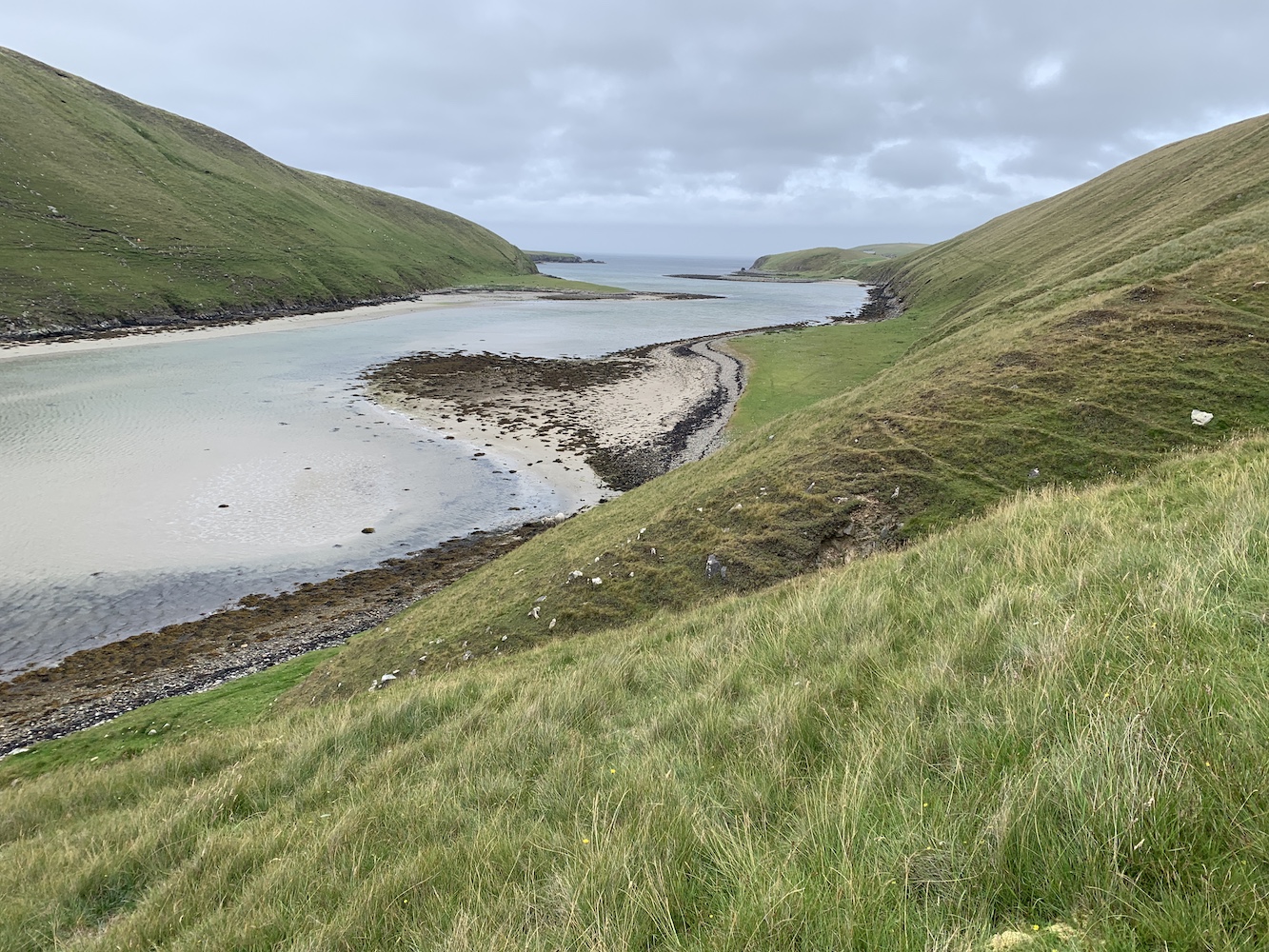
From here we set off to the south, passing some ruined buildings, and then continuing straight on we went through a small gate. The reason for heading south was that you need to get around Gloup Voe and Mare’s Pool before you can begin heading towards the lighthouse. After the gate the path got very narrow and was barely more than a sheep track, which wasn’t too bad to begin with, but it quickly became a bit more worrying as the land was steep and if you were to lose your footing it was highly likely you’d end up sliding down the slope and into the water below. Concentration was key at this point and enjoying the views fully involved stopping to look around every now and then, which was well worth doing.
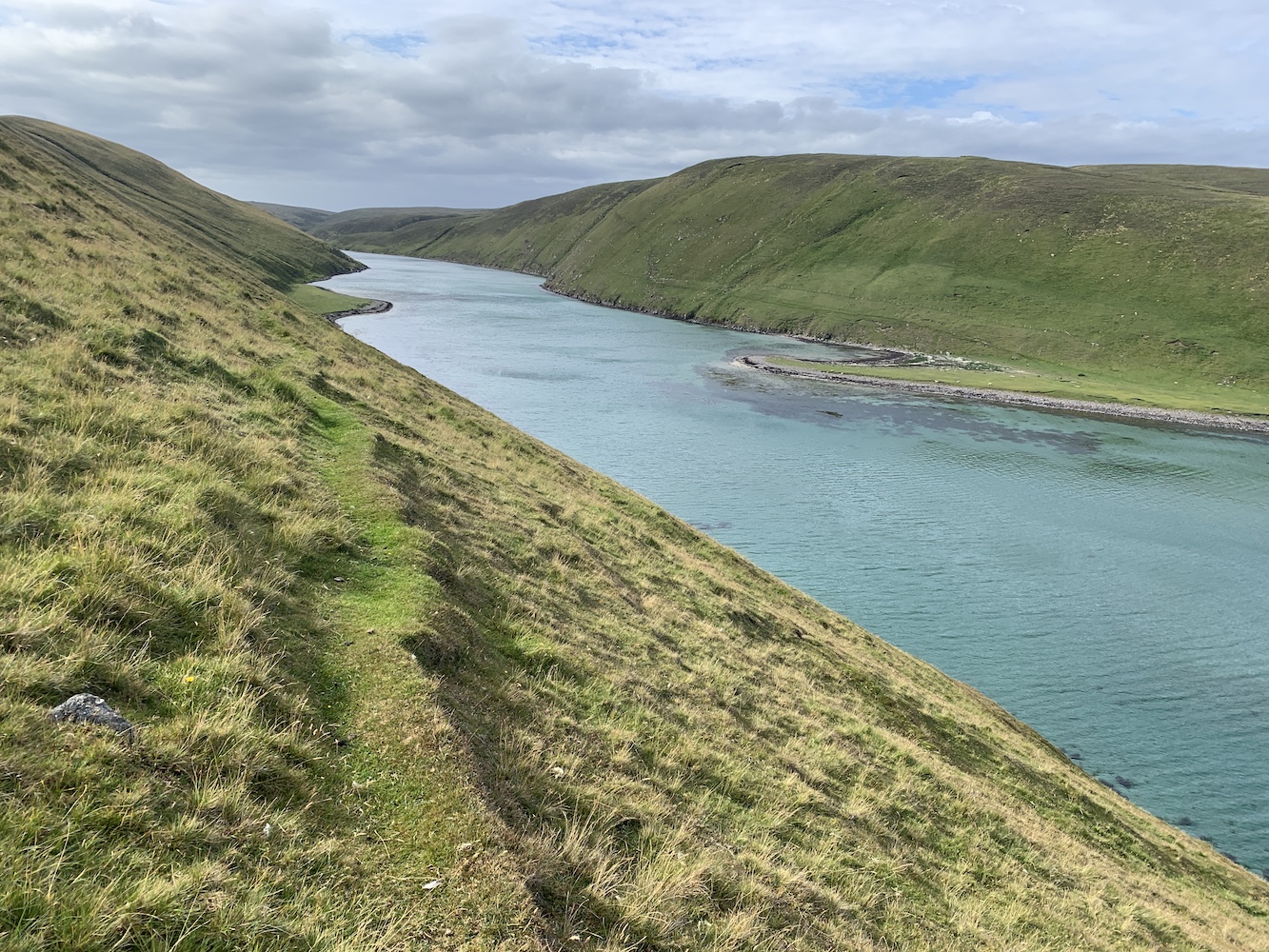
Reaching the end of the Easter Lee of Gloup it was time to turn the corner and work out which route we wanted to take from there. The Ordnance Survey map shows a small path running up the Wester Lee of Gloup and ending slightly inland near some old houses. I must admit I was tempted to head straight uphill from there, but we decided to follow what looked like a sheep track along the west side of Mare’s Pool. There was no doubt from quite early on that the west side was steeper and I was increasingly uncomfortable walking on such a tiny sheep track along it. The track, in places, was hard to follow too. After a while we established that the path marked on the map was actually further up than where we were. At this point we found a little ledge, had a sit down and chat, and agreed to begin heading up the slope towards the ridge line and then assess from there. Thank goodness for the heather as the grip it offers certainly helped to get to the top. To say I was relieved to get off that slope would be a bit of an understatement, but I also knew that there was some distance to go to get to the lighthouse.
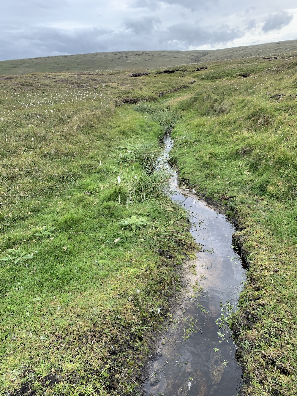
Trudging over the grass and heather wasn’t too bad, but there was plenty of spongey-looking ground and bog cotton about. Fortunately there has been a spell of dry weather in the area of late and so many of the little burns and pools were completely dry as were the extra boggy bits of terrain (which was nearly everywhere really). Having been there now it is not a walk I would even consider doing when the ground is wet. The walk was really just up and down, skirting around or going straight through dry bogs and was a fair amount of effort, but we had the wind blowing at 40mph behind us which probably helped.


At one point we began to spot some skuas flying about. I’ve seen quite a few already on this trip and thankfully, although they fly about when you go near them, they seem to have decided now their young have grown that they don’t need to attack people anymore. It’s still quite unnerving though.

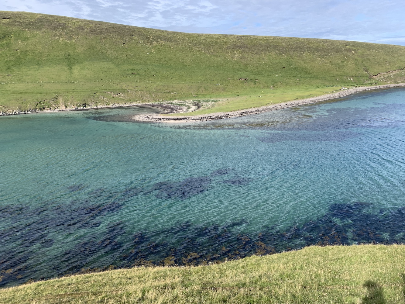
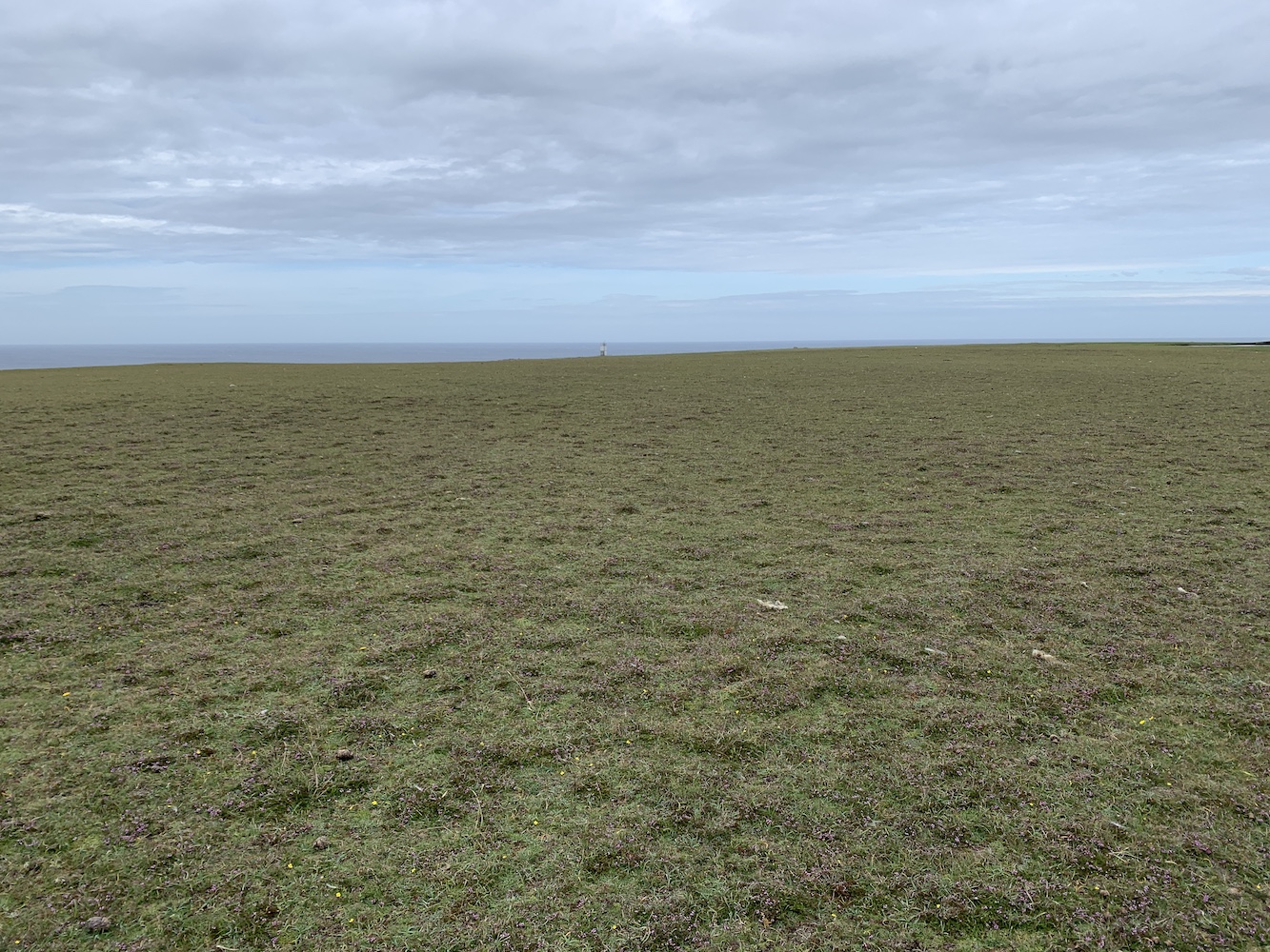
After an age (or almost 5 miles) we finally spotted Bagi Stack Lighthouse ahead of us. It looked tiny in comparison to the vast surroundings and the beautifully dramatic coastline around it. There are stacks aplenty in the area and also views over to Point of Fethaland and Gruney (oh, we also spotted Muckle Flugga from a distance on the walk too). The lighthouse, unsurprisingly given its location, is looking a little weather beaten. Two sides of the white cladding on the tower have begun to turn yellow – and while I love yellow I recognise it’s not the best colour for a lighthouse with daymark requirements. The plaque on the door also looks like it’s seen some weather. Thankfully, although they have gaps between the white panels, these lighthouses offer a surprising amount of shelter from the wind. It was a great place to eat lunch and I also managed to make a phone call to Sumburgh Head Lighthouse while here too!


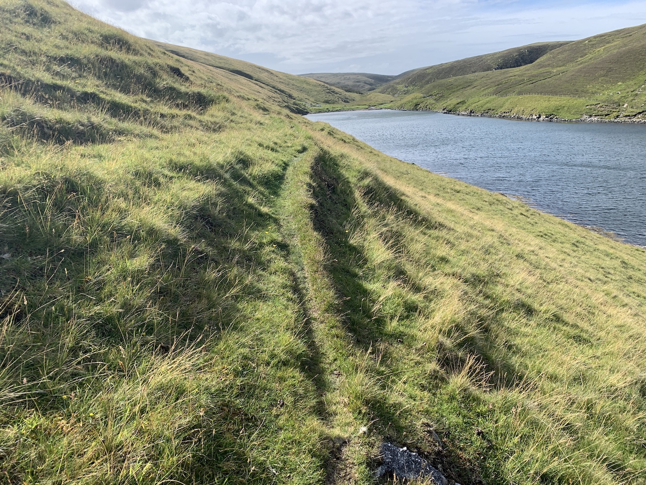
The return walk was never going to be easy, but given our experience of the landscape so far I felt comfortable suggesting we set the GPS device for the bottom end of Mare’s Pool and follow the direct route as much as we could. This seemed sensible based on the fact that it was so dry underfoot and so we wouldn’t need to worry so much about avoiding boggy areas. This was all prepared and off we set with the wind full in our faces, which I actually found rather refreshing if a bit much at times.


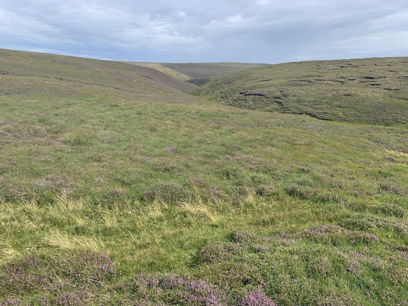
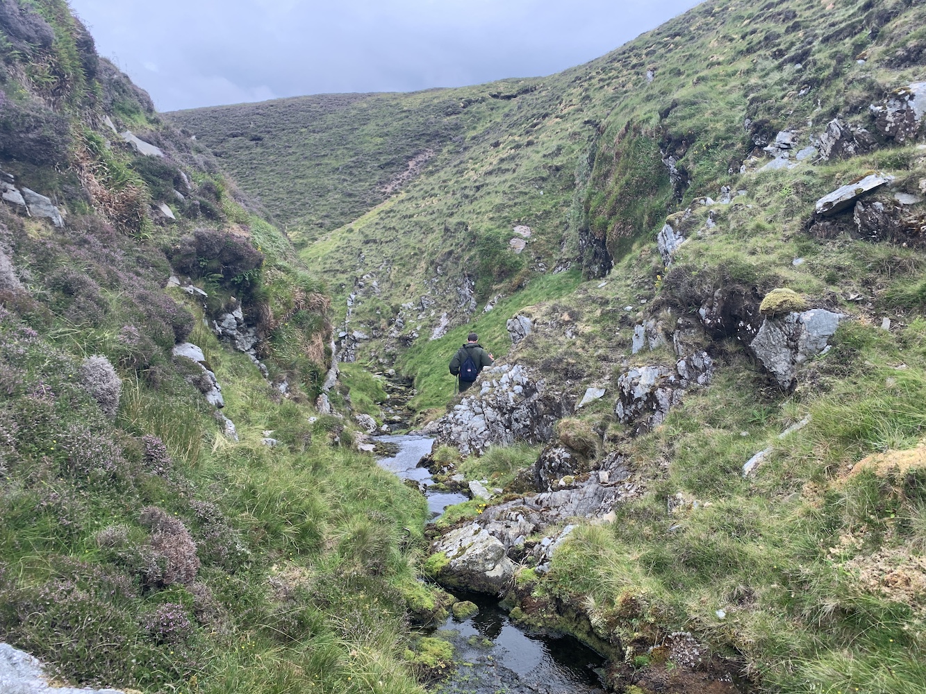
It was mainly a slog to get back, but towards the end we spotted a lovely-looking glen that weaved left and right a bit before coming out at the bottom of Mare’s Pool. The burn that ran down the glen did have water in it, but thankfully wasn’t a raging torrent and was narrow enough to step over most of the time to avoid any narrow or difficult terrain. At one point we needed to cross at the top of a tiny waterfall, but this was straightforward enough and it didn’t feel like long at all until we could see some familiar ground at the bottom.

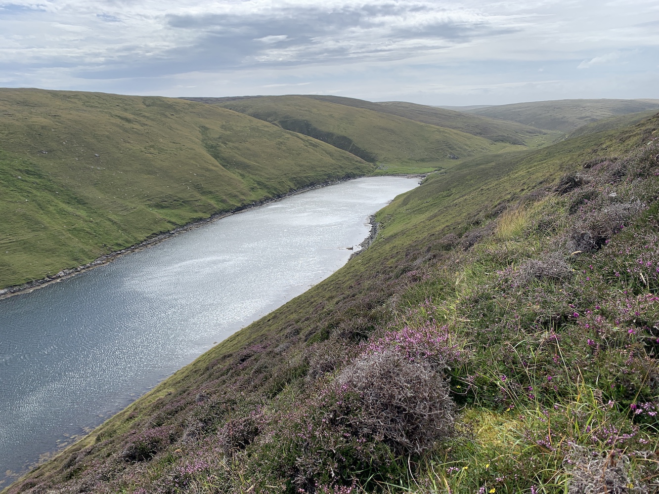
After a brief stop we just had the final section to go along the Easter Lee of Gloup. After the experience on the west side this felt so much easier a second time and I really rather enjoyed it. I still had to stop to take any pictures and look around, of course, but it was just as beautiful as it had been on the outward journey, but with the tide much lower so it all looked a little different.
Arriving back at John’s van was great and we had already begun to feel the need to celebrate successfully getting to and from the lighthouse without any major mishaps. A cup of tea seemed like a sensible celebratory drink at the time.
It was quite a walk – over 8 miles in total – and a good test of navigation skills, including making decisions about which route to take and realising that sometimes taking the high route gives you better perspective even if it does involve more effort to get up there, but also enjoying some of the lower routes where possible too. Maps can tell you a lot, but there’s nothing like being there and seeing the lie of the land for yourself at the time.
My advice for anyone looking to walk to Bagi Stack Lighthouse would be simply take whatever route you feel most comfortable with, but make sure you have a map and compass (that you know how to work with) or a GPS device – don’t rely on your mobile phone as signal is patchy once you are away from Gloup. It is best done after a period of dry weather as bog trotting is never fun if you can avoid it. Other than that I can’t offer much else in the way of directions. Oh, and it’s probably best avoided during skua attacking season! 🙂
