With a day to get home from Preston, a bit of a detour en route felt necessary to clear up a few things lighthouse-related. I had yet to see a couple of the lights along the south coast of Cumbria, along the north bank of Morecambe Bay as well as the Walney Channel.
Living where I do in the far north of Scotland, and the vast amounts of time I have spent in areas with big, wave-battered cliffs, the relatively flat landscape and the resulting fast-moving tides of this area fascinates me. To me it somehow seems more dangerous than spending time on coastal routes in areas with more dramatic scenery, and this is all to do with those tides. To spend a second day in an area where lighthouse bagging is so impacted by the tide is a really interesting experience.
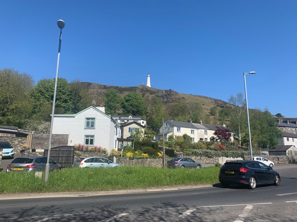
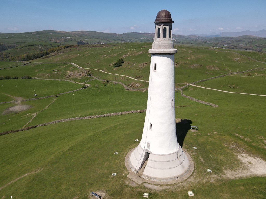
Before we get to that though, our first stop of the day was Ulverston. I’d stopped here briefly during my 2012 lighthouse tour and the reason any lighthouse bagger visits the town is surely for the Sir John Barrow Monument. Generally monuments aren’t lighthouses (although I can think of a few), but this one in Ulverston has a couple of interesting connections.
When it was built in 1850 its construction costs totalling £1,250 were mostly paid for by donations from the public. However, £100 was paid for by Trinity House (the lighthouse authority for England and Wales) and the reason for this was it would be used as a seamark. There are conflicting stories related to this with some sources stating that Trinity House contributed based on it it being a seamark alone – though the original plans included a room in the basement that would act as the ‘lighthouse keeper’s’ living quarters. Others suggest that the funds from Trinity House were given in case the tower ever needed to bear a light for navigation purposes, and another that the donation from Trinity House was to ensure that the tower would never bear a light. It is all rather confusing.
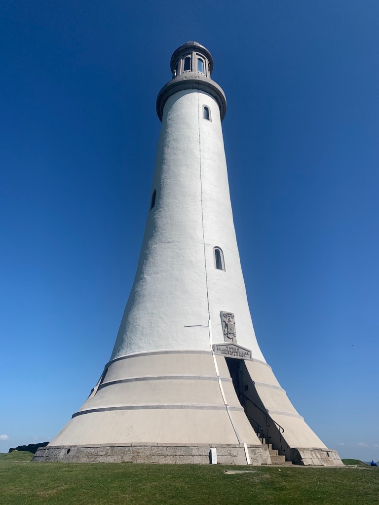
That is not the only link though between the monument and lighthouses. The tower design is based on that of John Smeaton’s Eddystone lighthouse, which can now be seen on Plymouth Hoe. So, in a way, when you visit it does feel a little like you are visiting a lighthouse. I should add at this point that you may well be wondering who Sir John Barrow was, which is exactly what I was asking too. Sir John Barrow was born and raised in Ulverston and went on to become an explorer, a writer and – perhaps most relevant – Second Secretary to the Admiralty for 41 years. He passed away two years before the monument was constructed.
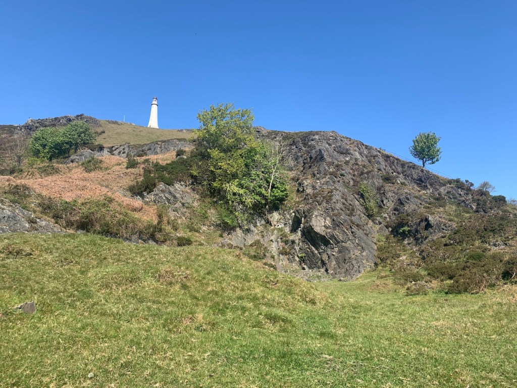
It was a pretty hot morning actually and so the walk up Hoad Hill to the monument, especially given that Bob insisted on using the steepest paths, was a good way to work off the remnants of alcohol left in my system from the previous day. The views were great as you got higher though, with those looking out towards the sea being of most interest to me. Chapel Island stood out for me as this big rock in the middle of the sea. I have since discovered that it is possible to access it at low tides, but with real care and from the east bank of the River Leven.
The monument is really impressive and quite beautiful actually. It does have a lighthouse vibe about it, which probably has a lot to do with the original design inspiration. It is possible to climb the tower on certain days between Easter and October. A good sign that the tower is open is if the flag is flying, but it is well worth walking up even if it’s not.
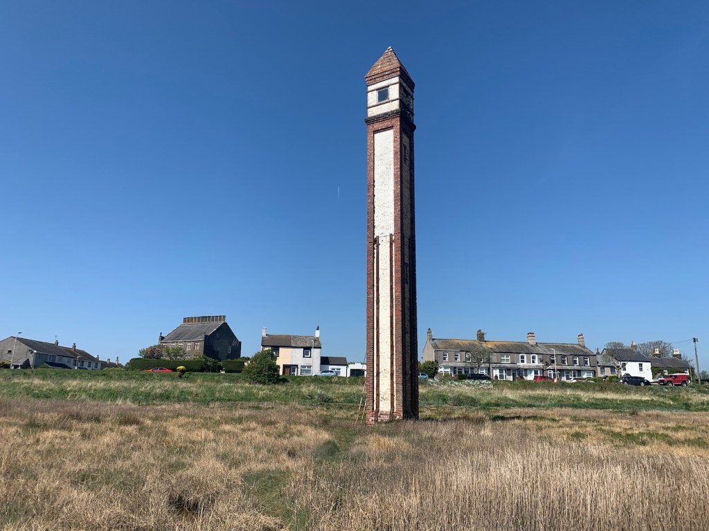
Back down off the hill, it was time to head for some lighthouses with lights! The first of these was Rampside, a wonderful skinny little brick tower known locally as ‘The Needle’. This tower, built in 1875 to guide ships into Barrow-in-Furness, is the last remaining one of thirteen of this same type.
The lighthouse is really easy to spot, sitting just off the road at Rampside on the way to Roa Island. Though it is close to the road, it is another one to be careful near due to those tides. The tide was pretty low while we were there, but there were still little puddles of unknown depth around that you need to watch out for. The fact that it has a ladder up to the door also is a good indication that the sea can impact access to it.
It’s a sweet tower and with most of it being red brick I was imagining it wouldn’t really be a very useful daymark, but seeing it later on from a different angle, it really is quite noticeable. This is another one with great views across to Foulney, Roa, Piel and Walney islands.
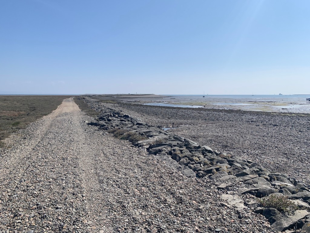
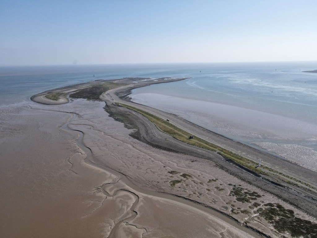
Speaking of Foulney Island, this was the next destination. Thankfully the tide times worked in our favour that day as this one really is tidal. Foulney Island is a shingle spit (with some grass) that reaches out 2 miles into Morecambe Bay. It is a nature reserve and an important area for birds during nesting season so some areas of the spit are cordoned off at certain times of the year.
It wasn’t necessary to walk the full 2 miles to reach the lighthouse here and it is clearly visible from the parking area at the entrance to the island. The walk out here was initially a little wet with many (thankfully successful) attempt at avoiding get our feet wet in the muddy puddles presumably caused by the area being flooded at high tide. Then it was onto the shingle, which gets a bit tough going after a while. There are the remains of a 19th century stone causeway here, which was constructed to prevent the silting up of the Walney Channel. With the state of some sections of this causeway now though it would be more like boulder hopping to walk along it.
The lighthouse here is a funny thing, even I will admit that. It’s an oddly shaped white glass reinforced plastic tower, which is very much a different coloured version of the light at Cardiff Barrage. Probably understandably there’s not a lot of information out there about it.
This turned out to be an excellent area for Joe the Drone to stretch his blades and grab some great shots with the tidal sections of the islands all around exposed at that point. There are the remains of an old stone building just beyond the lighthouse. It’s not clear what purpose this would have served. Beyond that, although we didn’t venture that far, you can begin to see the first of many pile lights in the area just off the end of Foulney Island. It was one of these type of lights I was keen to see next.
In researching my book, one of the resources I’d used was the fantastic Online List of Lights website. The owner of this site aims to have a picture of every active aid to navigation listed in the Admiralty List of Lights. This is quite an undertaking as it is ever-changing and covers the whole world. I could, and have, spent hours scanning through this site taking a look at the lights of all shapes and sizes. It was on this site that I came across the Walney Channel West Pile light and you can see its entry here. It doesn’t look like much, but the little white hut on top of the pile structure was what caught my attention. It was time for me to take a look at it for myself.
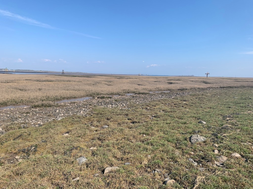
Passing through Barrow-in-Furness we arrived on Walney Island and found somewhere relatively sensible to abandon the car in Biggar. The OS map showed a footpath running down to the east coast of the island from here and this was really straightforward to find, passing along a narrow grassy area between two fields. Initially the walk was easy enough once we got to the coast, heading north and then east. After a while it began to get a bit wetter underfoot and I was very grateful to have had my wellies available for this walk. Again, it’s another area that becomes flooded at high tide. We stuck to fence line though to try and avoid, as much as possible, the wettest areas. At one point we needed to cross a stream about a metre wide and Bob checked it out first to test how deep it was. Fortunately it wasn’t high enough to go over the top of our wellies so we carefully waded through it and then continued on our way.
Rounding the corner we spotted a whole range of pile lights ahead of us. Quickly recognising that, even at low tide, the land between us and any of these lights was pretty saturated in many places, we decided to send Joe in to investigate from the sky. It was unclear which light I was actually looking for here, which was the first sign that something had changed in terms of the light structure.
After inspecting both Joe’s photos and the grid reference against the map, I was a little sad to have to confess that this one was a lighthouse demotion. The light being investigated is now possibly the most unimpressive of all of them. Some have some very fancy coloured daymark triangles on them, but this one was just a pile structure with a light on a stick coming up out of the top.
It wasn’t the most exciting or joyful end to the day’s bagging, but to go to these places to check things out always feels worthwhile whatever the outcome is. It was also quite fun to wander around to which is really a big part of the adventure of lighthouse bagging.
This marked the final day of a week’s worth of lighthouse visits. It really was quite a week and one that saw me visit those lights I had left to see on the Isle of Man and in North West England, so I returned home with a nice sense of achievement having reached this goal and explored yet more of our amazing country’s (and the Manx) coastline. 🙂

